Day 19 - to Wibaux, MT
Waking up in Medora:
When I finally rolled over and extracted myself from my tent, with some effort against my aged sleep related injuries, it was around 6:55am. Or so my phone told me.
I decided to start the process of the morning checks and necessaries. Pulling out bags and stakes and whatnot. I lurched over to my bike, which had been left out in the driving rain all night to charge from an outlet on a post. I pressed down the button to turn it on for what seemed like ages, each second increasing my anxiety. And then I was greeted with the familiar “Hello” from the display indicating all was well. The weatherproofing had held.
From there after using the bathroom I abandoned the process of decamping and went to get an actual breakfast. This was the first town in some time that had such opportunities, and I longed for something other than one (or more) of the dry snacks I had in my pack.
As I walked towards the center of Medora, workers shuttled back and forth for their shifts. Some were ending, others beginning. Like many resort towns the staff is highly populated by H-2B and J-1 visa workers. That is to say, they are foreign workers from all over. I saw Japanese, African, Chinese, Latin American, among others. All dressed in their uniforms moving to do their jobs.
If you are unaware the H-2B visa is an allowance to foreign workers to come and do seasonal jobs, typically at resort locations. When I have visited Myrtle Beach in South Carolina before, many of the workers there are from various foreign countries and are admitted on H-2B visas. J-1 visas on the other hand are those given to students, who may also work in seasonal jobs in their off-school breaks such as summer holdiays. Without these workers many locations would simply be unable to meet the demands from the available worker base in that community. Medora is a chief example — It’s a postage stamp town that exists primarily as a gateway to the Theodore Roosevelt National Parklands in which it is situated. At one point this was a railway boomtown and meat processing town for the many ranches that graze the prairie in this part of the bi-state region. No longer is that the case however. As a result the native US population just cannot support the huge swing in demand from tourists. Hence the visa workers.
I won’t get into the politics of this situation as they genuinely are complicated, and likely we could be advertising such jobs to US residents, but that just isn’t the case.
Anyway… I walked towards the main drag of Medora, a commercialized faux cowboy boomtown of sorts. The kind of place I’ve already described I have very little desire for. Google said shops should be opening at 7am and it was well past. So I figured that my phone must not understand it’s in a new timezone. I diligently waited for the local Cracker Barrel style restaurant to open and when it did I was the first seated. I had a much needed calorie boost of eggs, French toast, bacon and coffee. The girl that served me was likely from somewhere in northern Europe, but I couldn’t pin down if she was Belgian, Northern German, or Polish. I’d hesitate to say she was Wallonian even though I felt she was, as that’s an insult to some (don’t worry if you don’t get it as this joke will land with like 2 people).
Breakfast was good, so I walked back to break down camp fully.
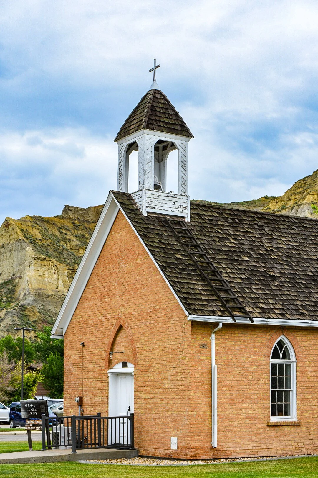
After about an hour I was fully packed and it was around 8:30am. I departed in the wan light and took a brief tour through the town itself. It was more of the expected kitschy shops, photography studios, pottery outlets, cowboy museums and a theatre. The only thing that truly caught any of my interest was the primitive church that was still in good repair in town.
At this point the streets were ripe with the most insufferable form of tourists. A perfect match to the kitschy nature of the town itself. Not me, Im out. So I quickly left the town itself and rejoined the main road.
Just as I left town I spotted the volunteer fire station and stopped to take a picture of their vintage rescue truck against the stunning cliffs.

I would have taken more photos but I was being observed by a gaggle of men, probably firefighters as if I were an oddity. In fairness, I am. A fat dude in bicycle shorts with a huge camera who just got off of a fat tire bike with a baby trailer in tow. It’s absurd… but I just didn’t want to engage anyone in friendly or unfriendly conversation, so I left.

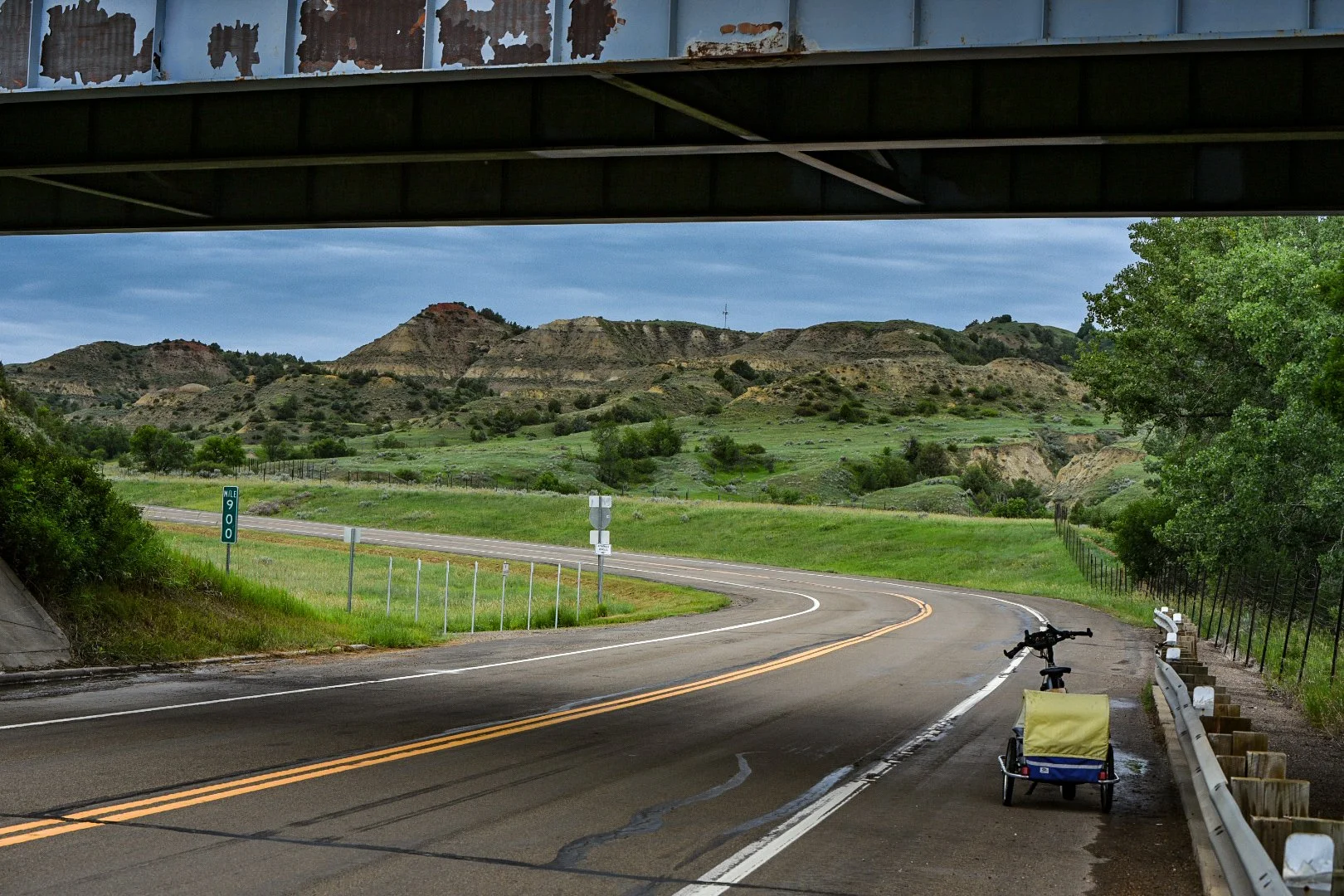
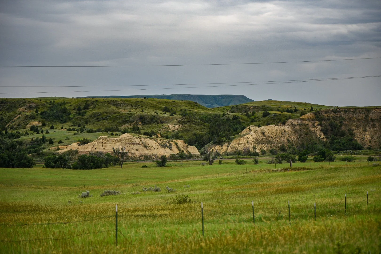
The ride out along Highway 10 continued to showcase the astounding beautify of the cliffs around, and I found myself pausing every few feet to take another picture. I’ve spared you all but what I consider my best.


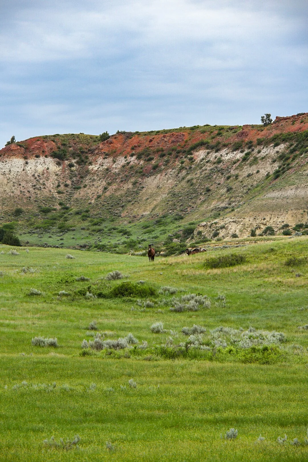
Once past the highway overpass Highway 10 continued to wend its way through the badland-esque cliffs and hills of the National park. Signs informed travellers to stay on assigned roads. This is grazing land and both cows and horses roam it.
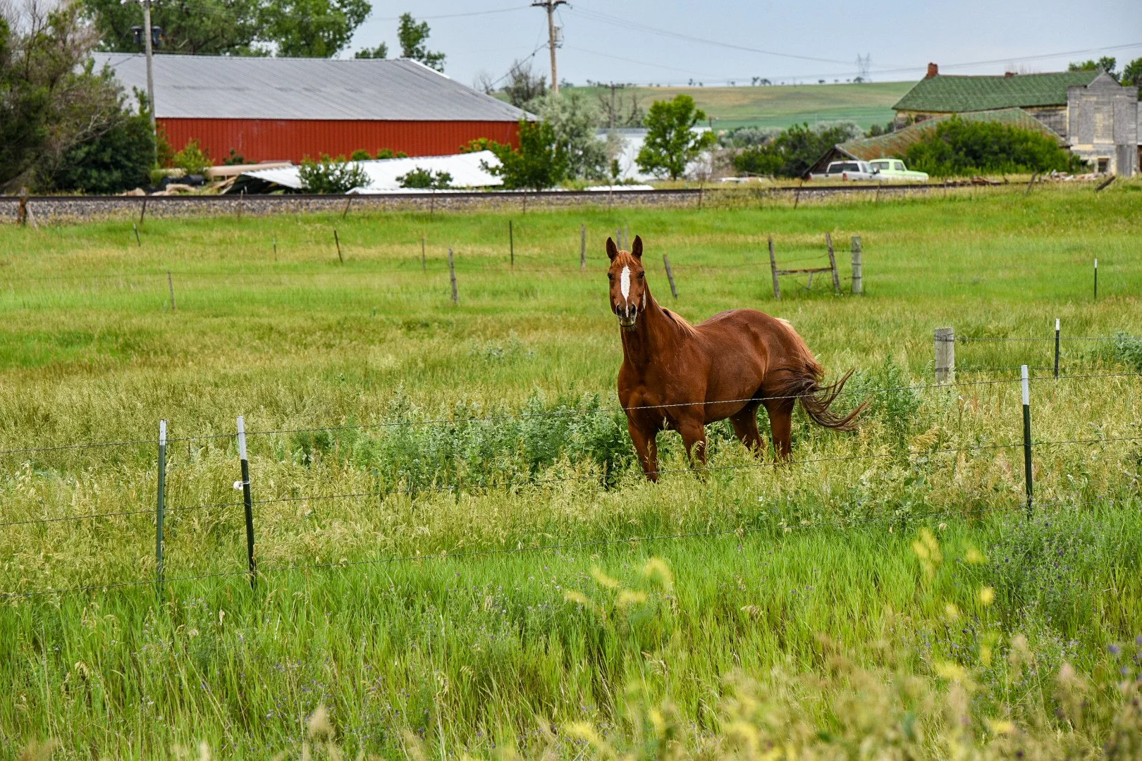
Coming around a bend in the road I spotted a single horse standing on one of the high hills above me and so I dismounted and took a few pictures. Soon he was swarmed by other horses, all playfully nodding their heads in some sort of greeting to each other. Yet he stood, stoic, the entire time.
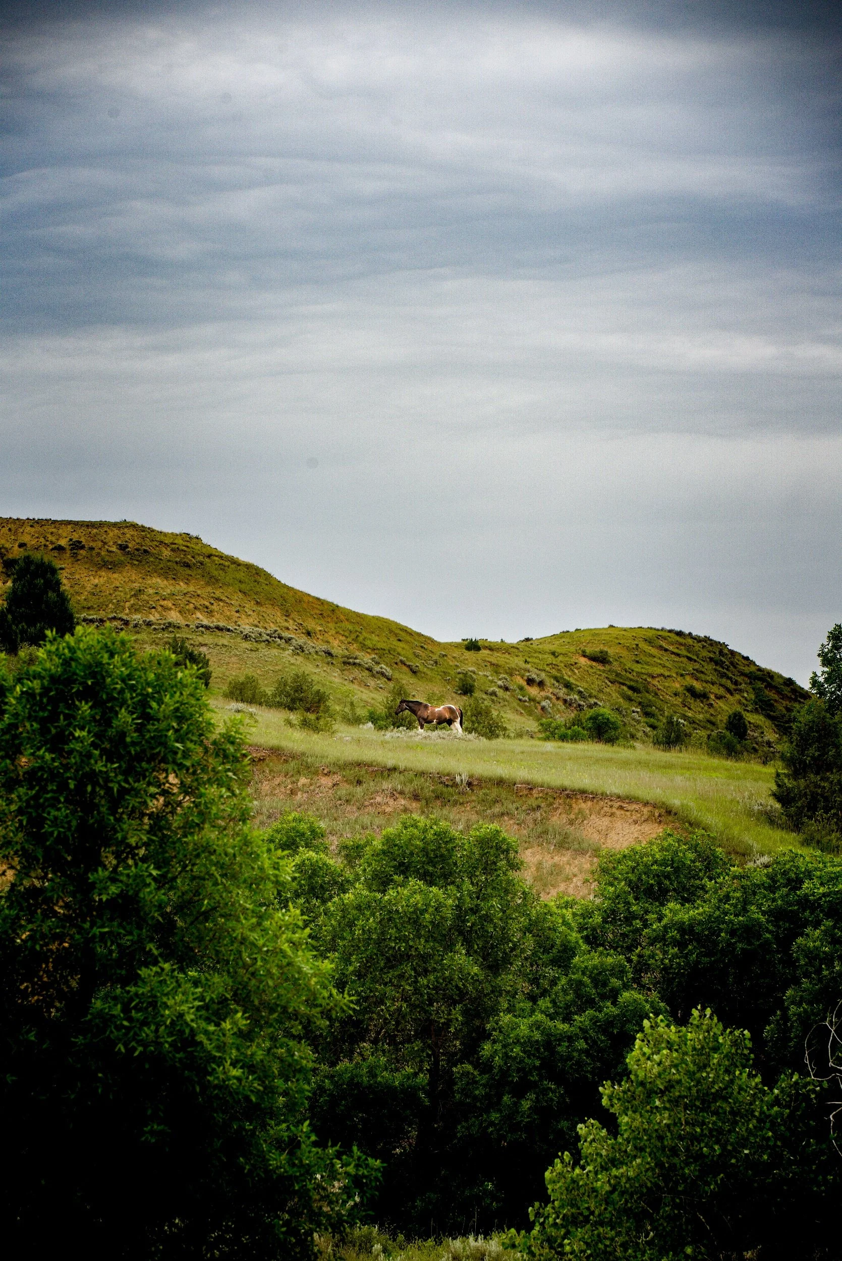
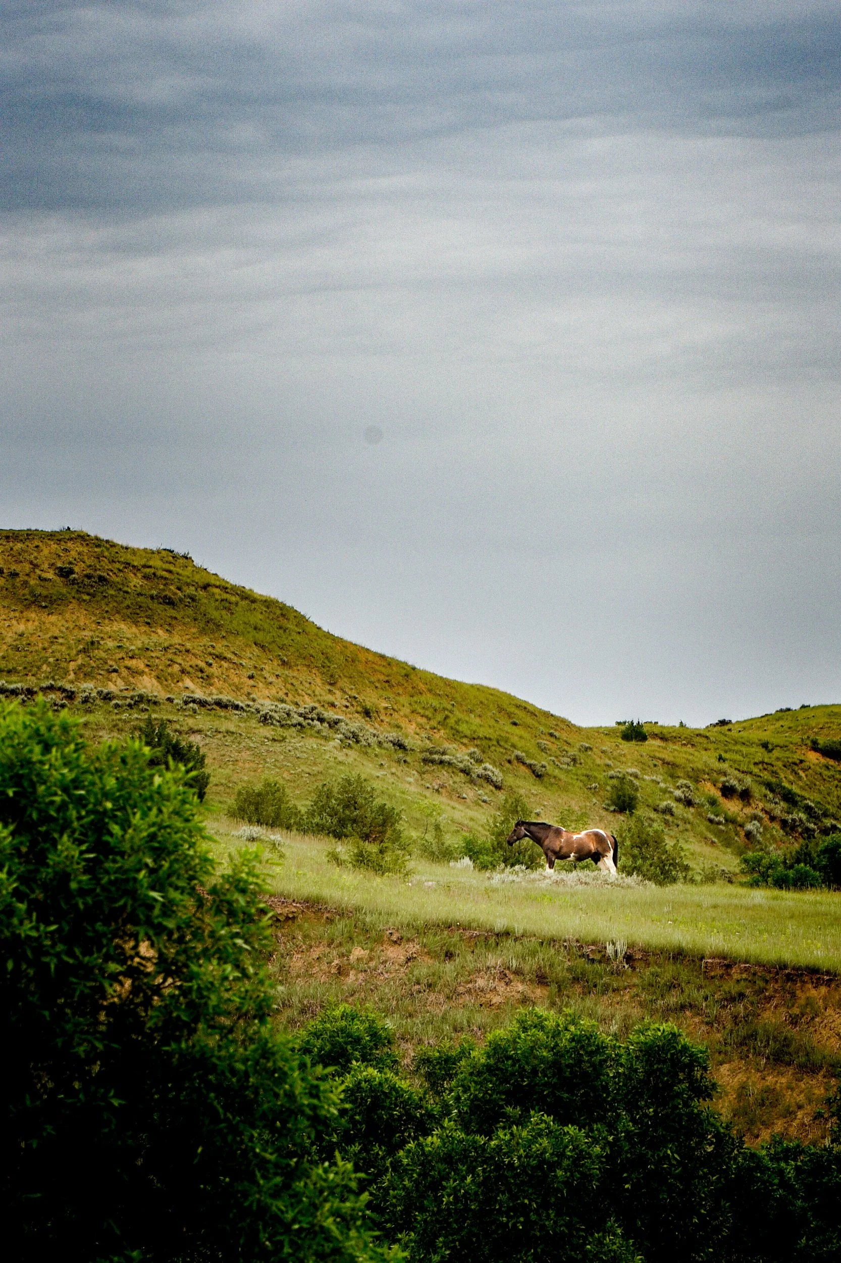
All the while I heard the dull thrum of an engine in an otherwise silent and peaceful setting. It approached and a gator style buggy passed me. I continued up the road and snapped a few more pictures of the horses, as the sound of the buggy again approached.
The buggy slowed the friendly man inside asked what I was up to. I replied I was headed to the next down but that I was taking some pictures of the horses. He exclaimed that those were the very horses he was looking for as they were his and he was going to take them to a different pasture. It was clear they knew him and the buggy because his arrival had excited them to move towards some unseen gate in anticipation of food he promised they would get before moving them. I snapped a few more pictures and continued onward.

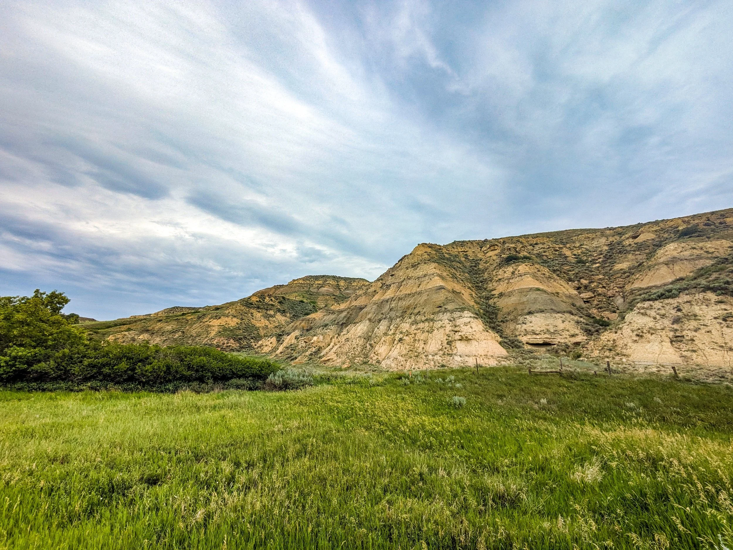
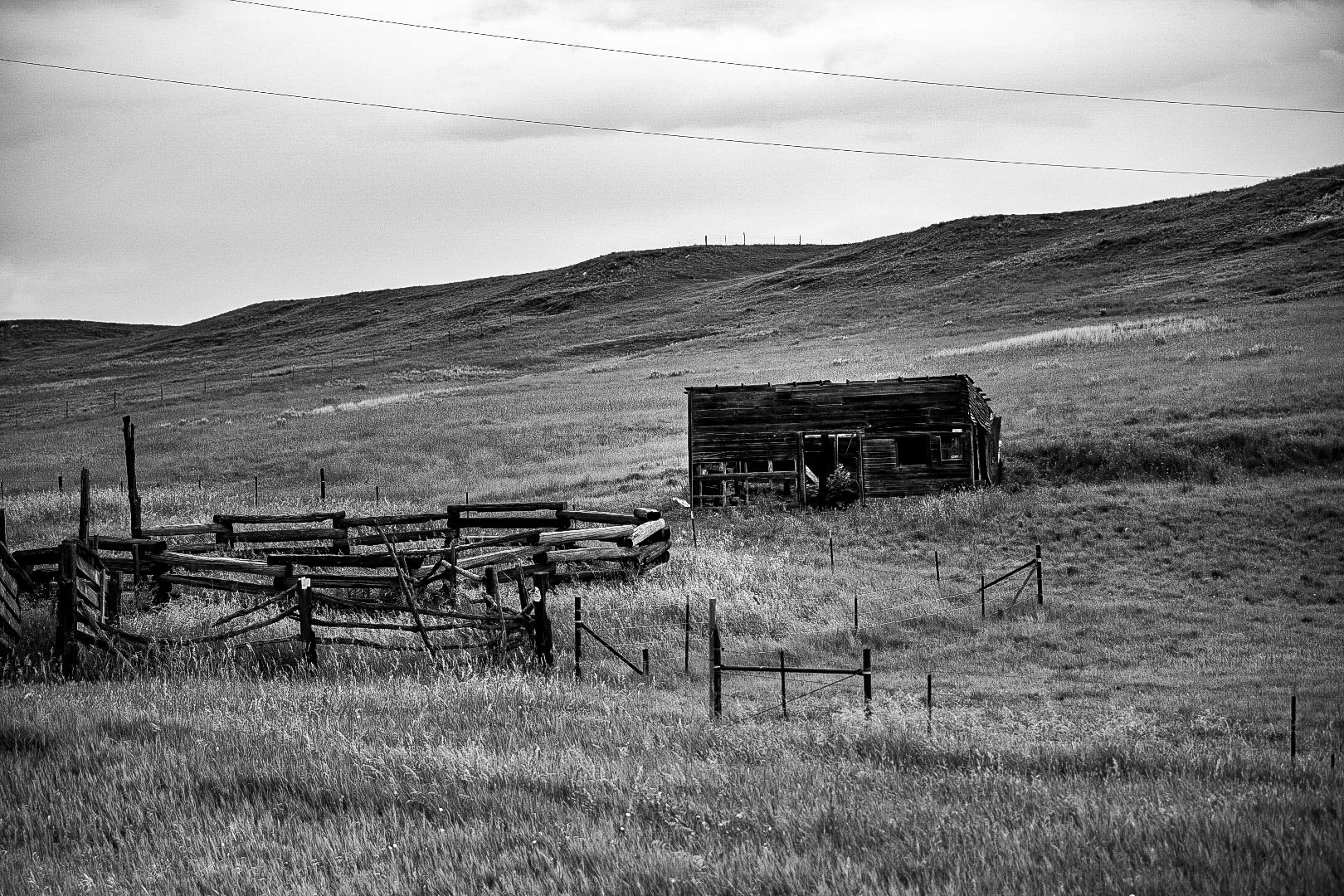
These cliffs and Buttes are the result of millions of years of sedimentation laid down when this region went through different climatic changes. 60 million years ago this was a great tropical swamp, eventually turning into a flood plain nearer to 30 million years ago. As a result there are many different layers (strata) of sediment that were laid down in these different eras of the plains. The truth is that these same sediments undergird the areas I had also just come through. The crucial difference is twofold: Firstly the upward thrusting of the North American continental plate against the Farallon plate which have, and still are causing the Rocky mountains to rise. These Buttes and cliffs are but the foothills of that activity. The second difference is that the little missouri river has been carving through these sediments with great errosive force for 5+ million years.
What we see then, is a time capsule of geologic history of this region. From Inland Sea, to swamp, to floodplain, to prairie. Each era with its own distinctive coloration.
This likely would have been apparent in the other Buttes I’ve seen so far, but they have been swaddled in thick carpets of prairie grass, not left exposed like those in Theodore Roosevelt Natl Park.
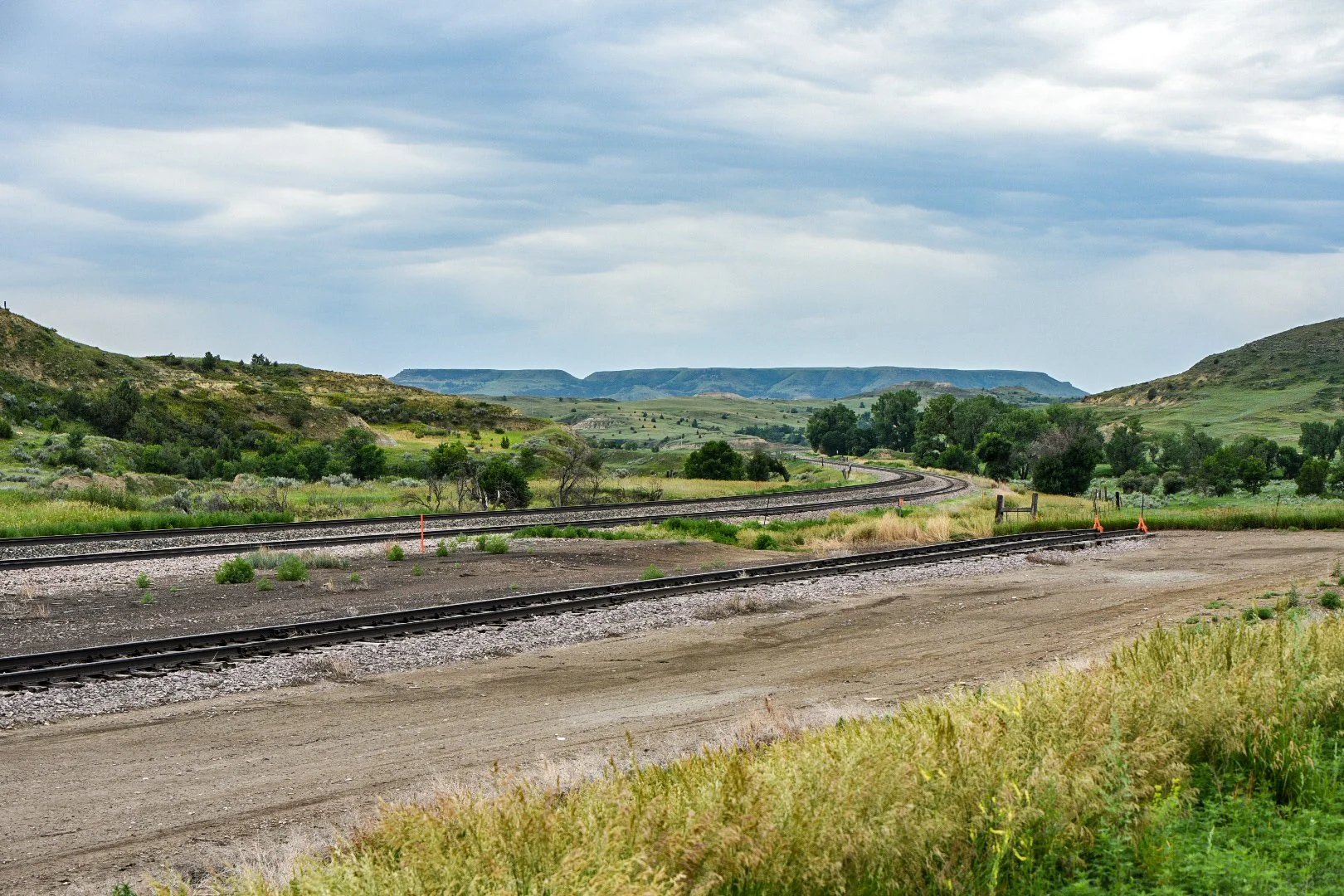

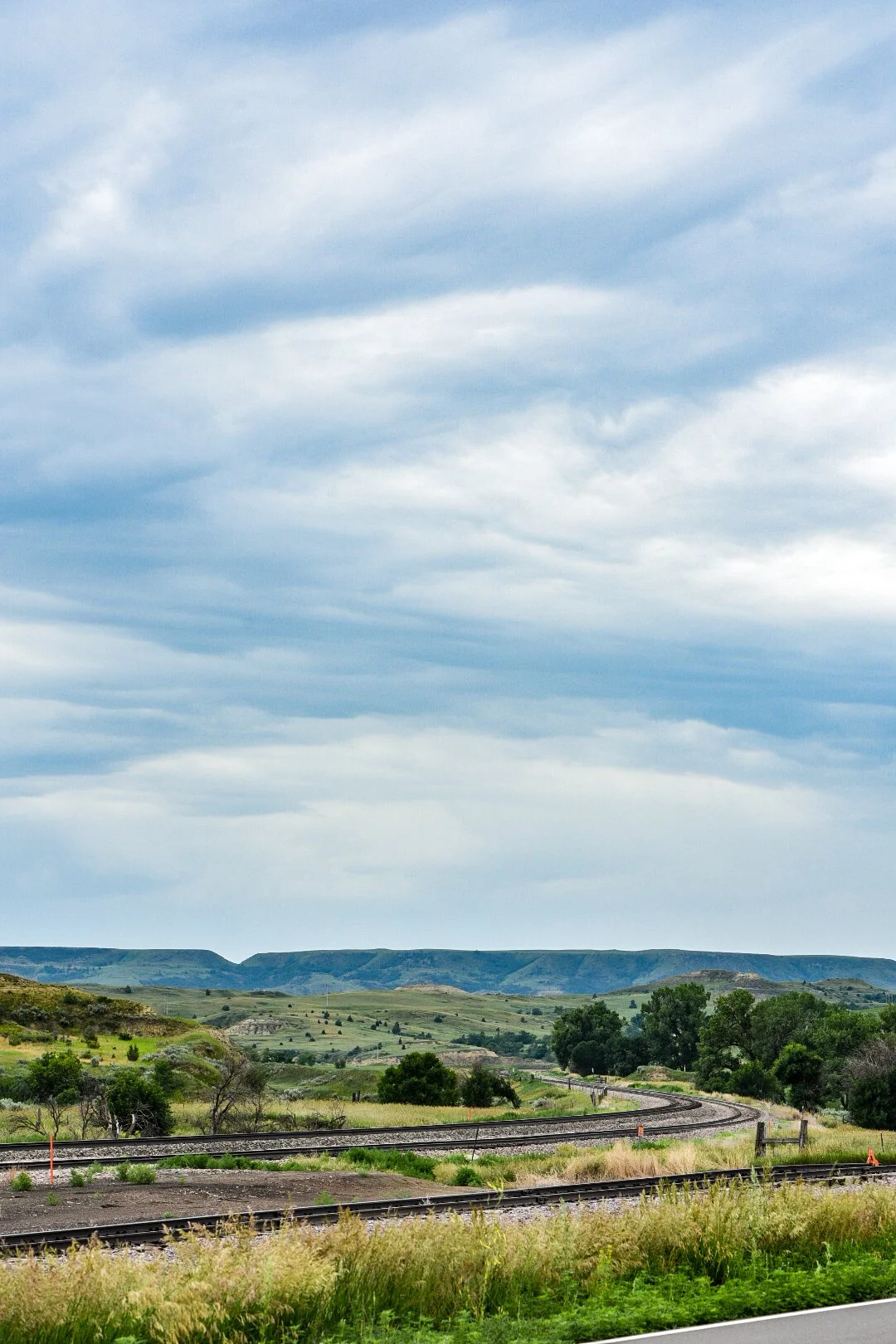
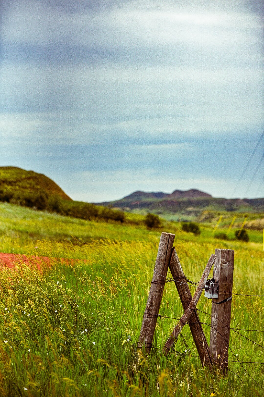
I continued on in the direction of the railroad adjacent to Highway 10 as it wound through low areas and over hills. Each new mile slowly changing in its character. Eventually I was greeted by a low area filled with different wildflowers.

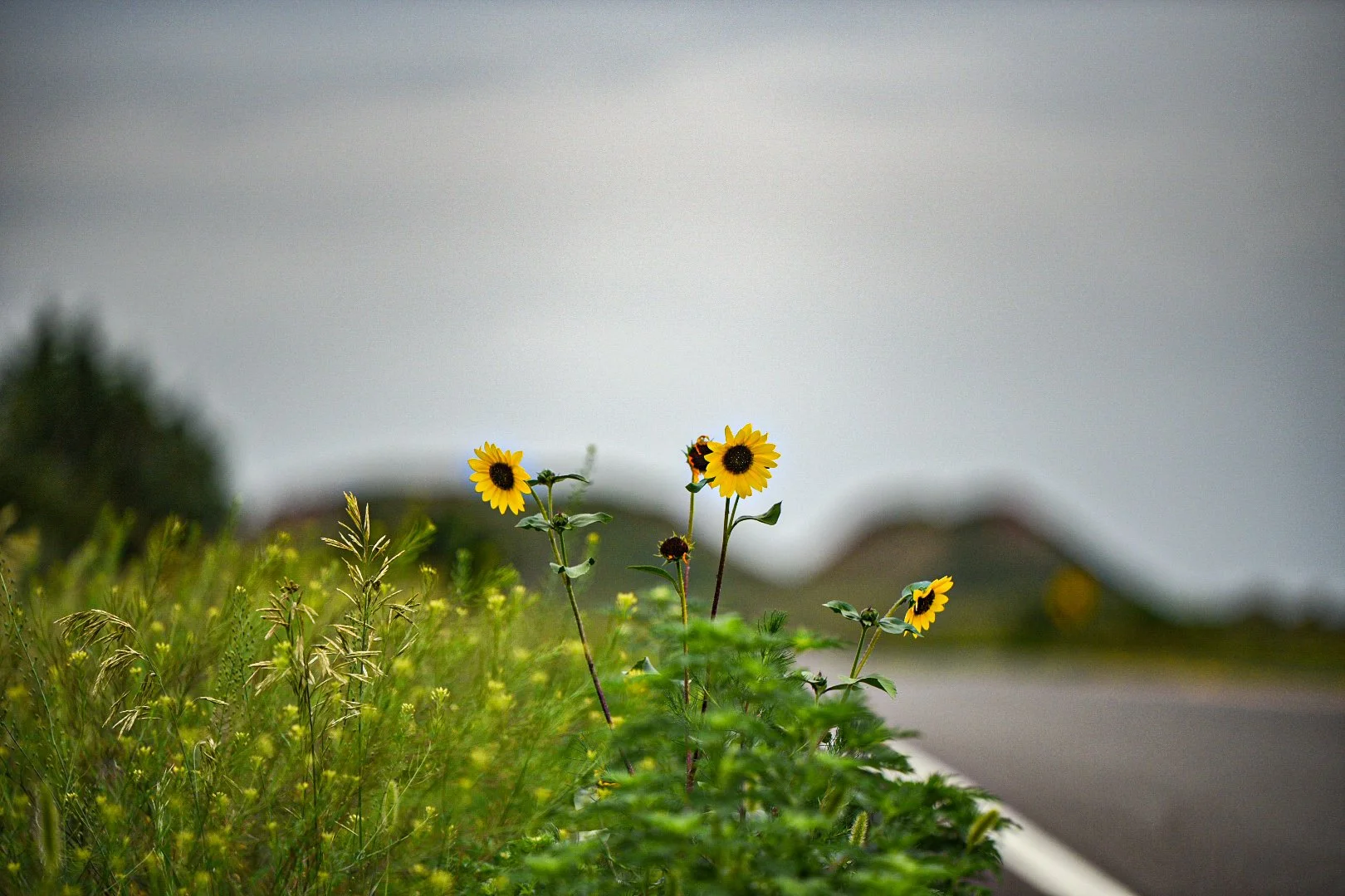
A roadside bloom of Helianthus Annuus — The Common Sunflower. Not to be confused with those grown for oil seed.


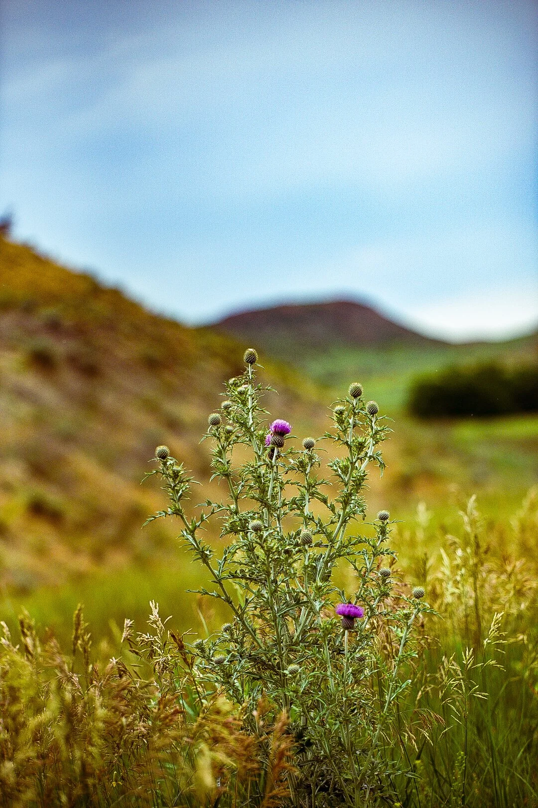
Cirsium arvense — Canada Thistle growing on the roadside. An invasive species introduced to the US and canada with the migration of European peoples to the region in contaminated European feed stocks that were then used to sow fields in the US and Canada.
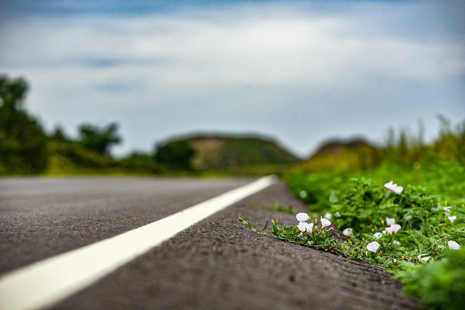
Ipomoea leptophylla — Beach Morning Glory creeping across the verge of the road. These range from white to pink, and occasionally have a white, pink alternating pattern. In the evening they close up their blooms and by mid morning they are fully open.

Chinacea angustifolia — Narrow Leaf Purple Coneflower. A sight becoming increasingly common as I get deeper into Montana.
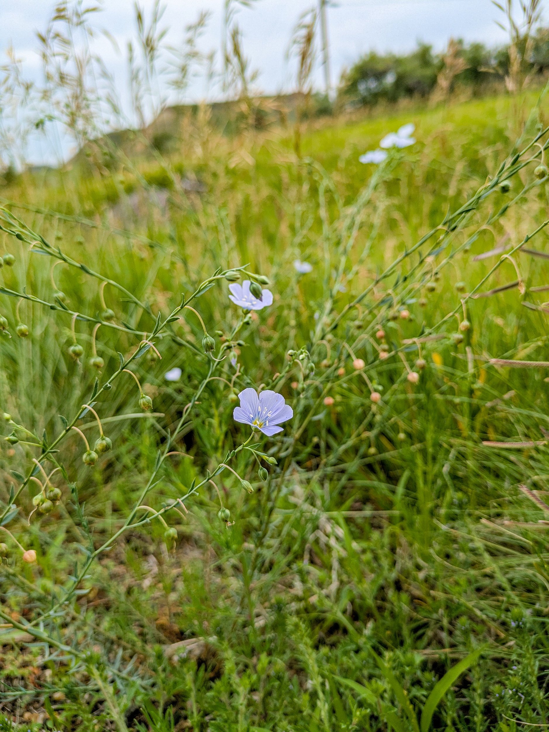
Linum Lewisii — Prairie Flax, a common sight on the verge in North Dakota and parts of Montana. Related to, but not the same as the flax grown for seed, even though North Dakota is the largest producer of flax seed in the US.

Unknown blooming grasses, ranging from yellow to reds.
Leaving the painted hills behind:
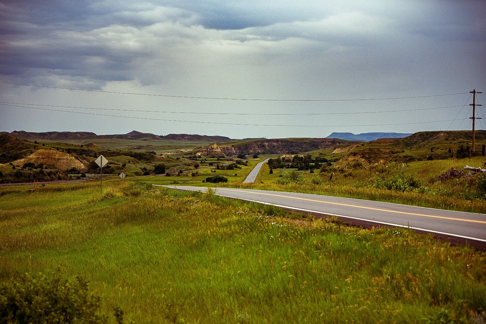
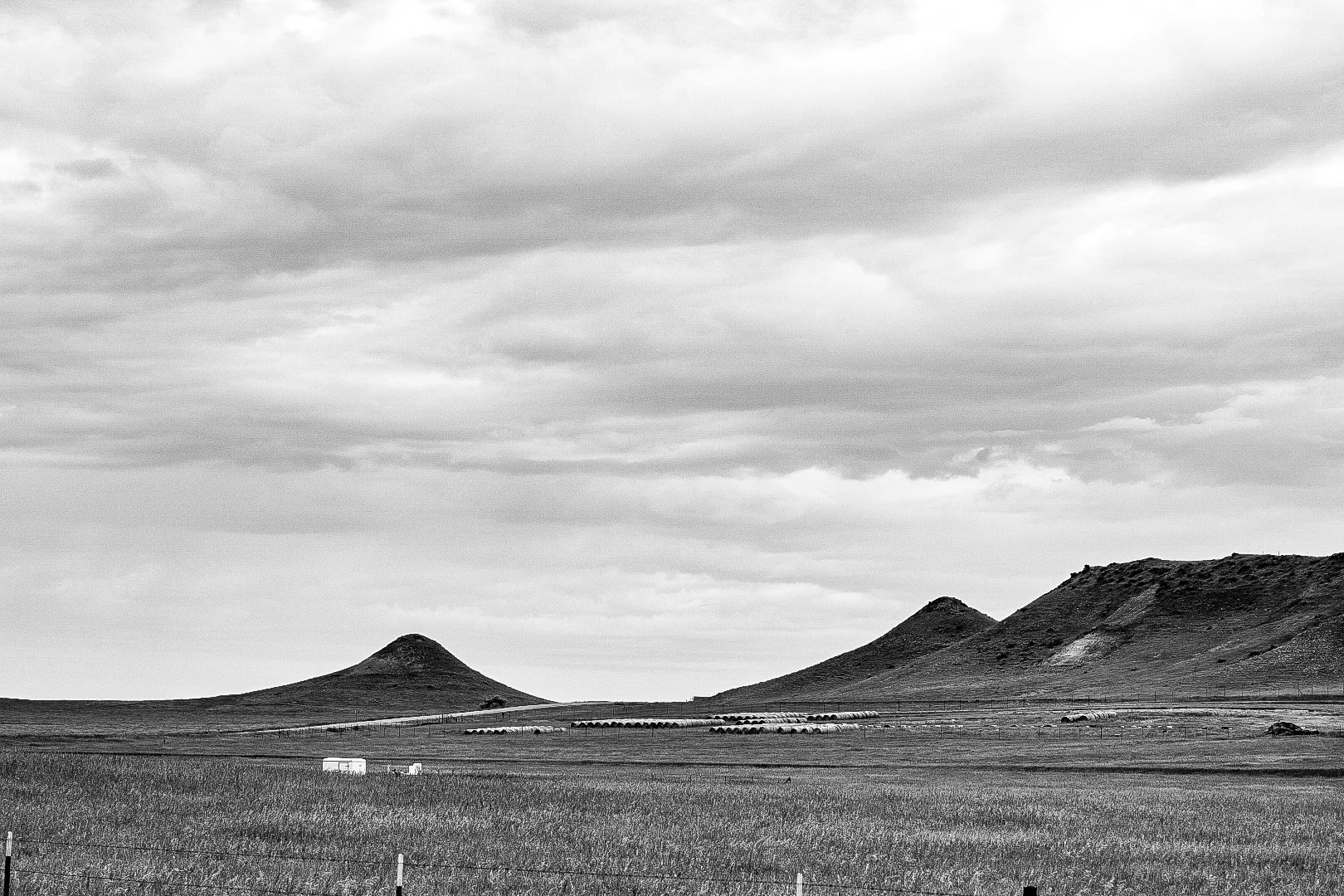
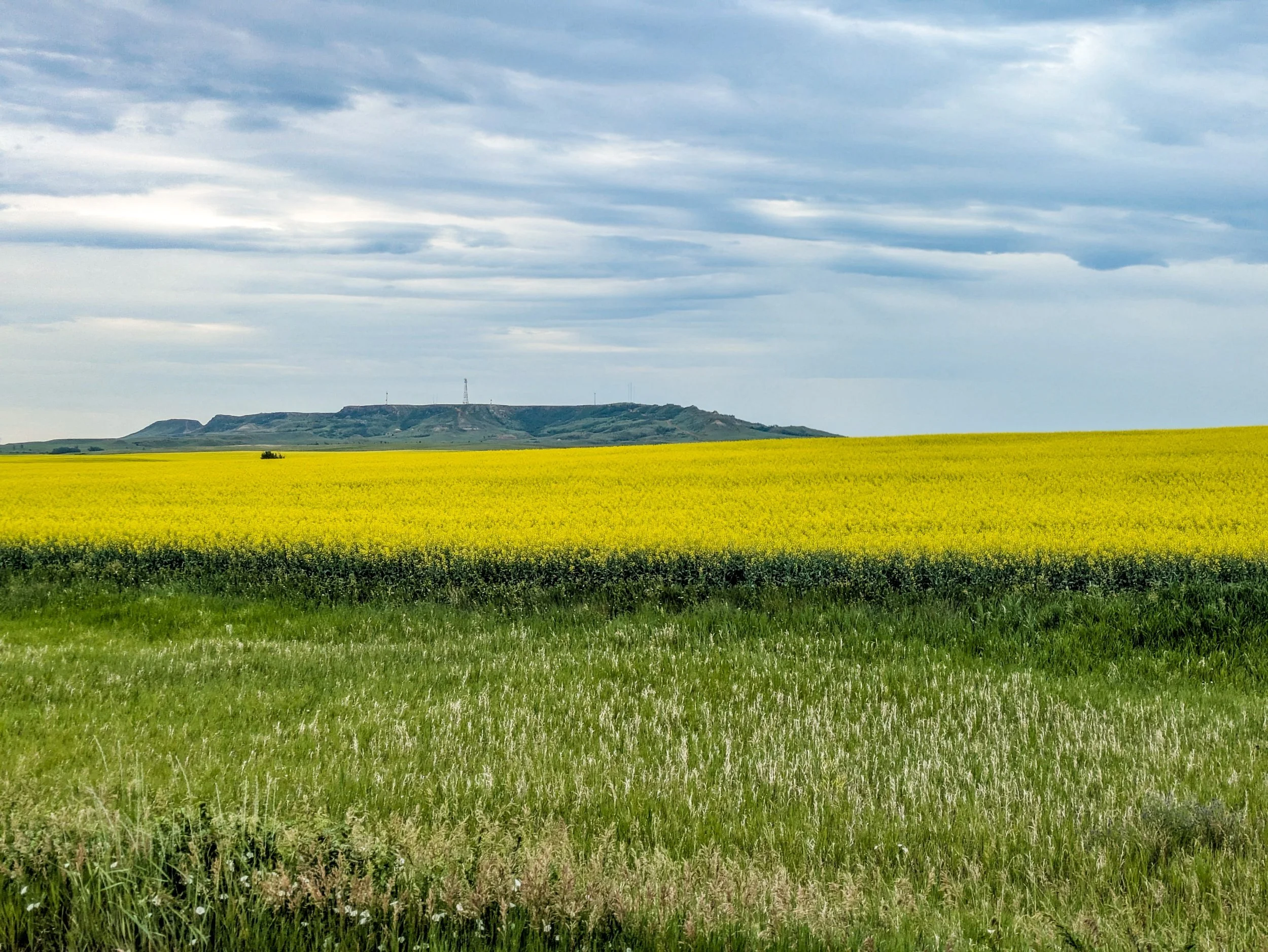
Eventually the highly colored Buttes and cliffs gave way to more expansive grasslands as covered more ground. Passing through the tiny town of Sentinel Butte, next to the Butte of the same name, the hills returned to their undulating greenery again, either covered in crop or in native grasses used for fodder.
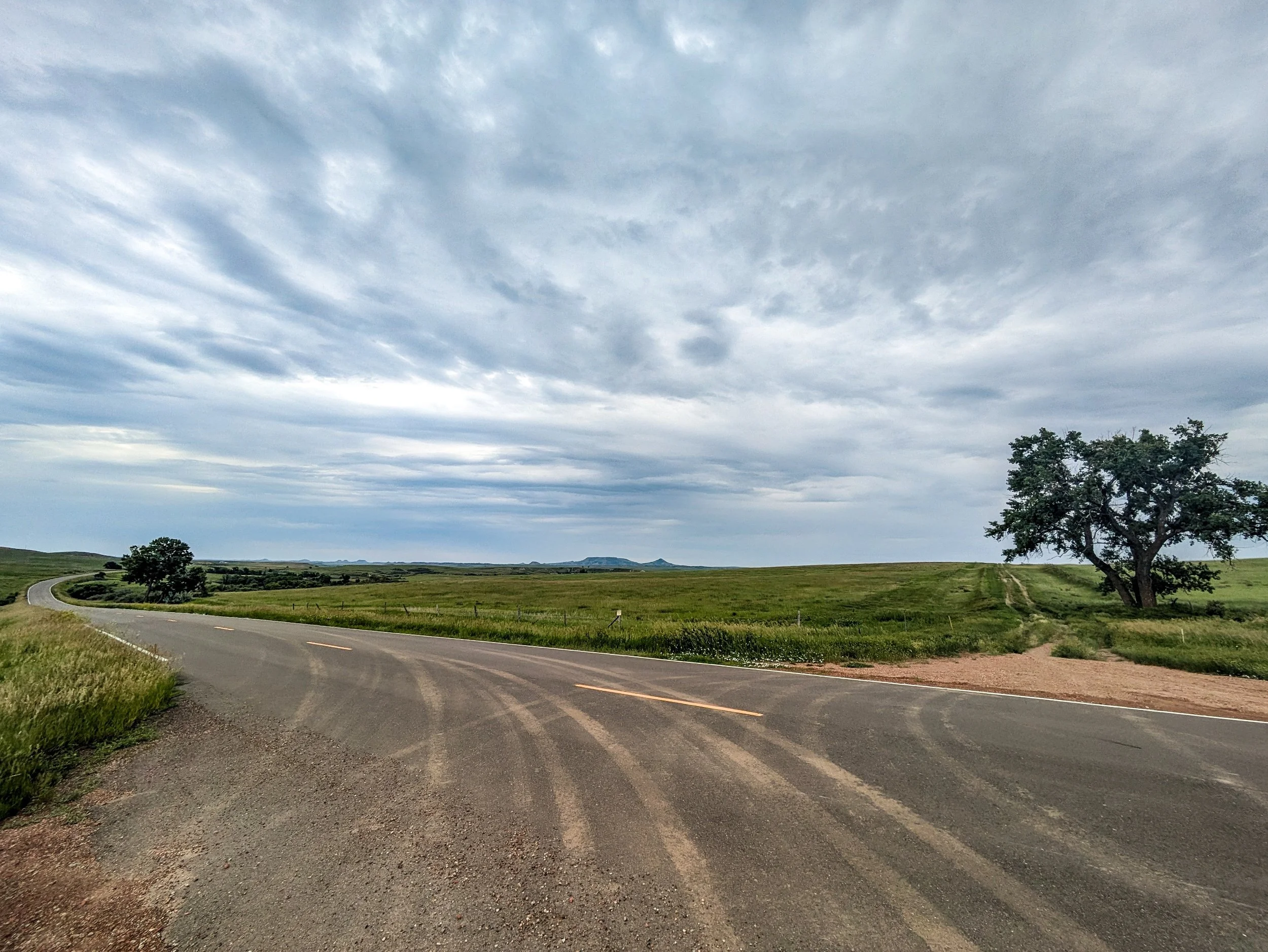


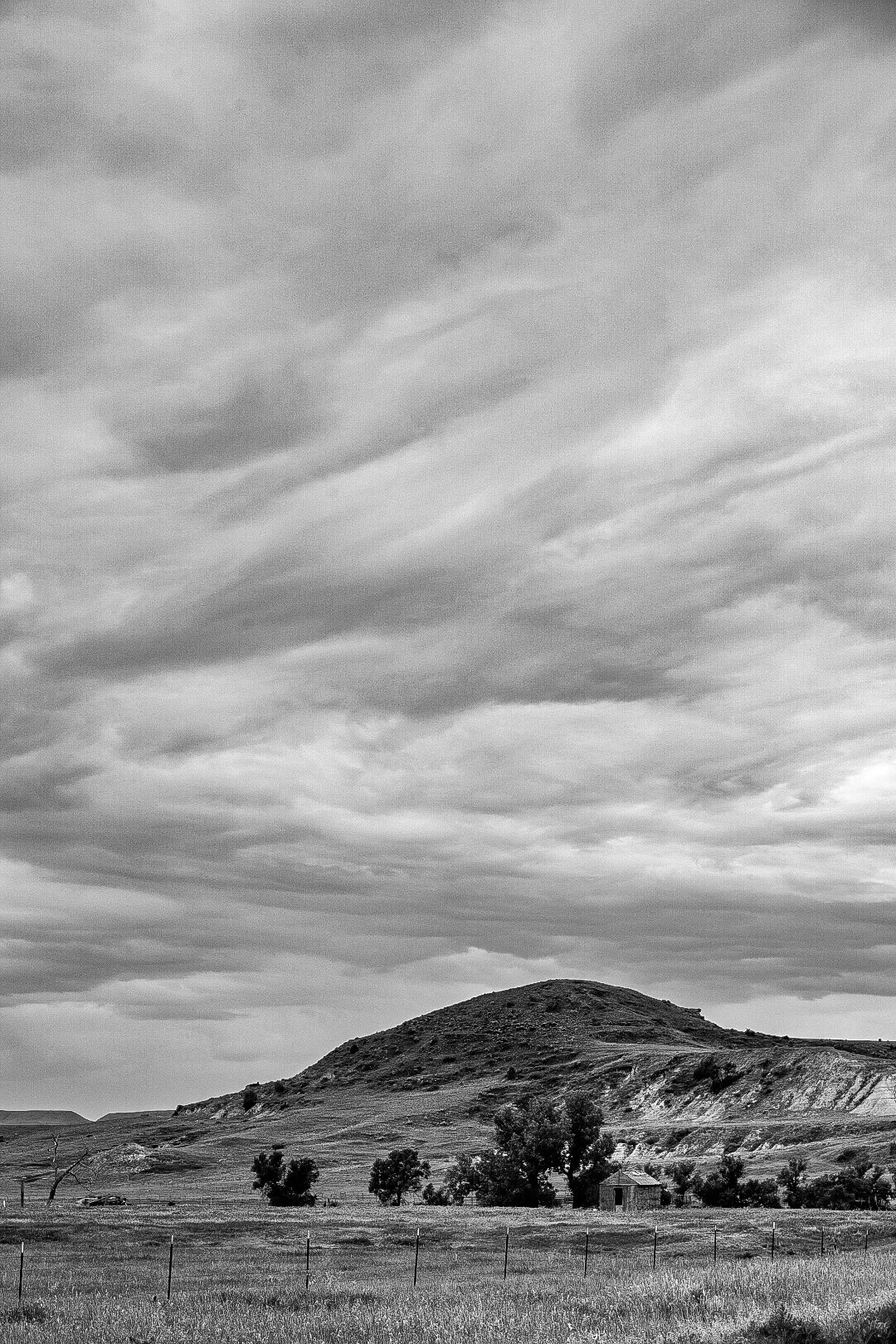
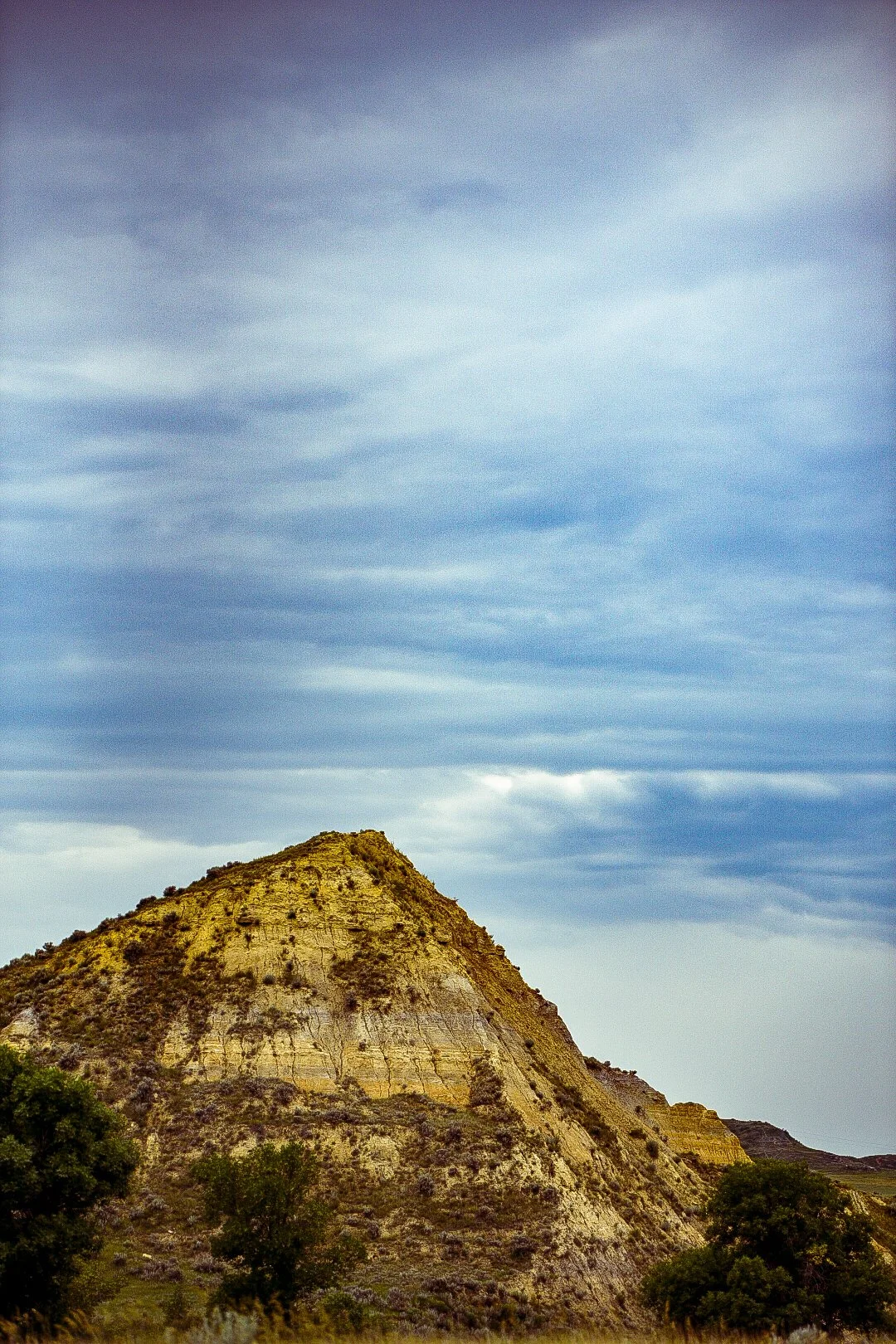
Sentinel Butte as seen from afar, just before passing through the town of the same name.

Just as I was about to enter the town of Sentinel Butte a truck pulled beside me as I took pictures. The gentleman within noted that they had seen me riding down into Medora the previous evening and commented that I must have been soaked. I agreed and we exchanged pleasantries.
He let me know that the reason Medora seemed to be choked with people was because vice president JD Vance had announced he would be in Medora the very day I left, and why even a camping spot was $45.
I asked if I could take their picture and they agreed. This is Rick and Wanda who own “the gas station down the road” — Now I couldn’t say if they meant in Sentinel Butte, or in Beach 12 miles further. I get the feeling that “down the road” means something very different to people for whom the closest Walmart might be 120 miles away.

Both the town and the geologic formation of Sentinel Butte breezed by. Only a horse came out to inspect me as I plod through against a light headwind.
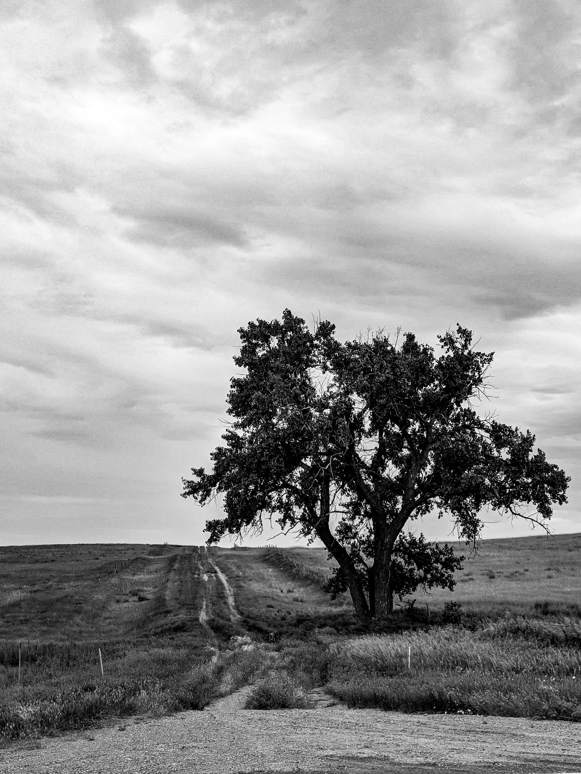
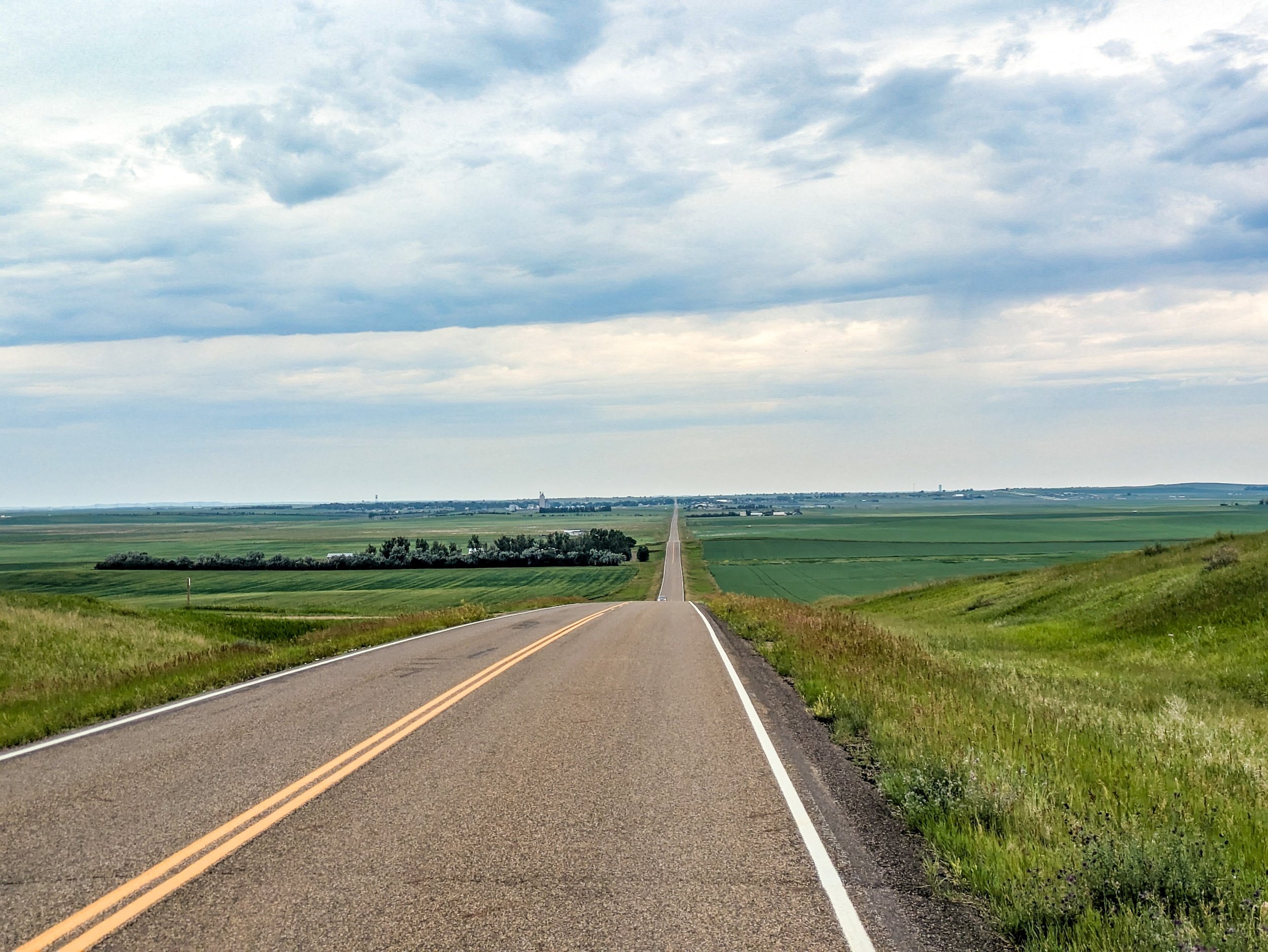
Climbing up the long incline out of the dip that Sentinel Butte inhabited finalized the fantastic scenery I had enjoyed throughout the day thus far. The park was behind, the rolling grass sea ahead.
Again, the only life I saw was either livestock or a single pronghorn attentively watching me pass.


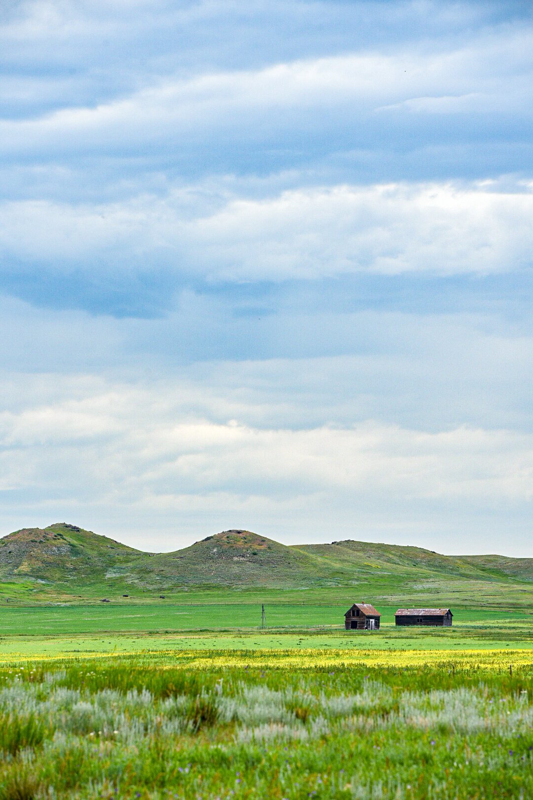
At long last I made it over the brim of the hill and into an expansive depression between Sentinel Butte and Beach, where I would recharge and rest.
I ate a late lunch at a gas station subway, and blogged while my bike charged before moving out. From here I didn’t take any more pictures as it was an uninteresting 10 mile dash to Wibaux, where I would rent a cheap hotel room.
And so ended my Fourth of July.
It was a day of restorative beauty, taken at a plodding pace like one slowly walking through a cathedral, investigating every line and color of every stained glass window.
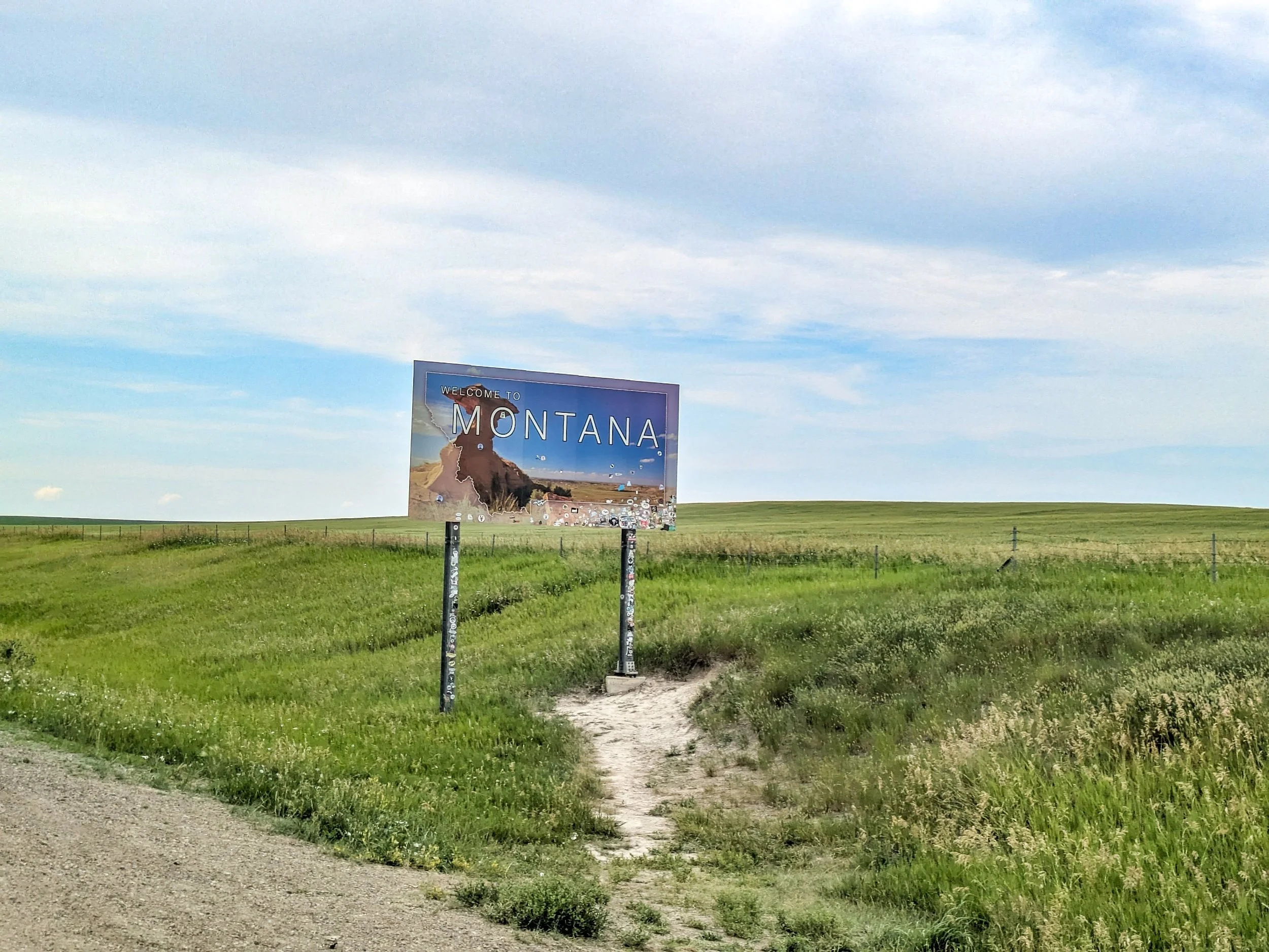
Just before Wibaux I took a picture on the move of the Montana state line.