Day 26 - Cold, wet miles to Livingston

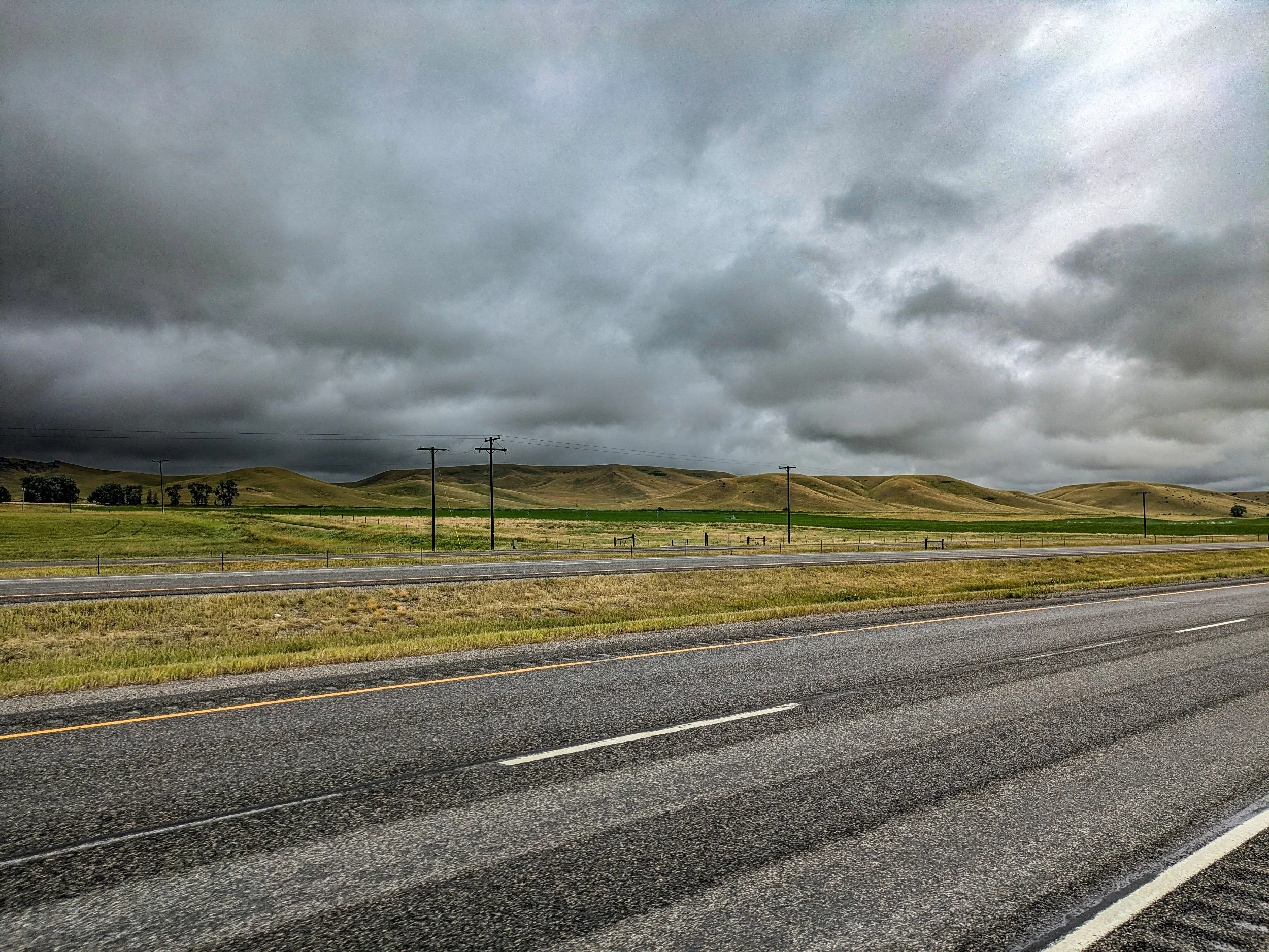
The night before leaving Columbus I checked the weather as I always do. There was to be a significant turn. From 90 degrees to 58 degrees as a high, and slow, steady rain.
These are conditions that have caused me to need rescue in the past — but that was when I was biking through a desolate 60 mile stretch near Granby, Colorado. The temperature and rain was the only thing in common here. Though this area isn’t hugely populated, it’s well travelled and you are never out of eyesight of a structure of some sort. So worst case I would need to rely on the charity of some passerby or rancher along the way if I got too cold. Even with all that I have equipment I didn’t in 2011 when I was struck by hypothermia on just such a day. Namely I have rain pants.
So I set out at 10am, later that I would have hoped, in order to let the temperature rise above 54.
I initially thought wool socks and my rain jacket would be sufficient, but quickly realized that the rain pants would be necessary as my upper legs were extremely cold from the wind and rain. So I pulled over and put them on. I swear they fit over my legs comfortably before I left, but now they were tight all the way from the upper thigh to the crotch. Evenso they were working well enough to keep me warm-ish. Honestly, they kind of worked like those flight suits that fighter pilots wear that squeeze blood back out of their legs to keep them conscious in tight turns. Any time I would pedal downward they would squeeze, keeping my circulation flowing, and though it’s anecdotal I felt like they made it easier to put power down.
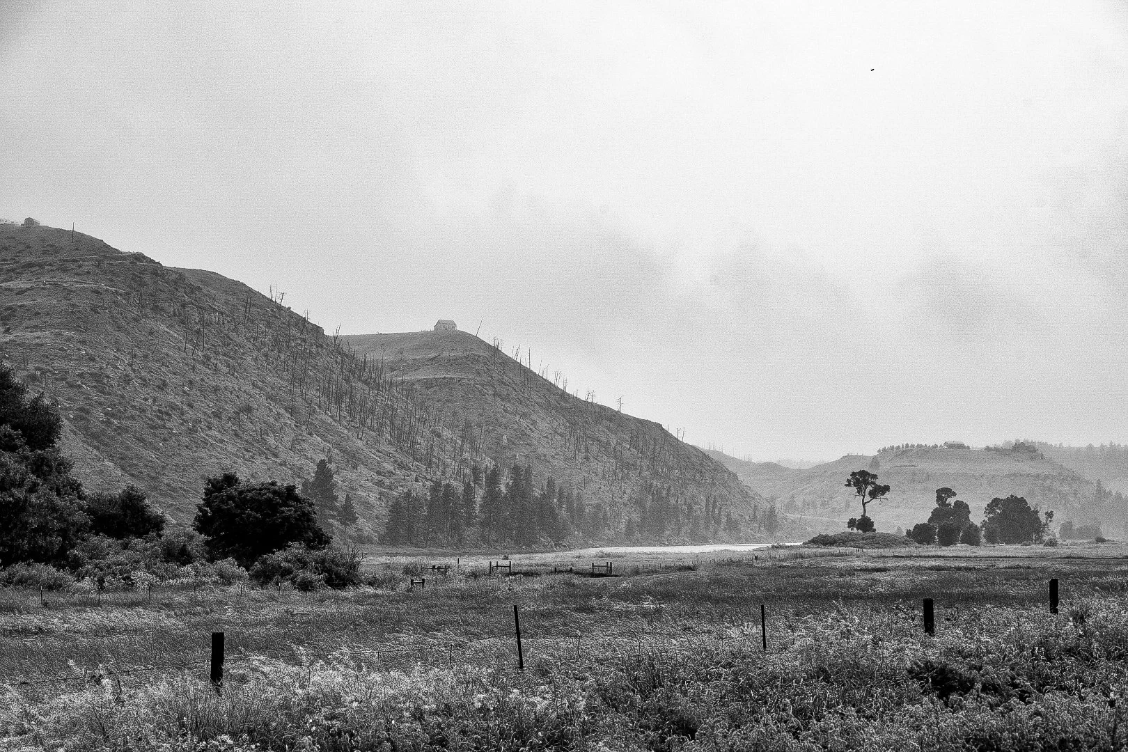
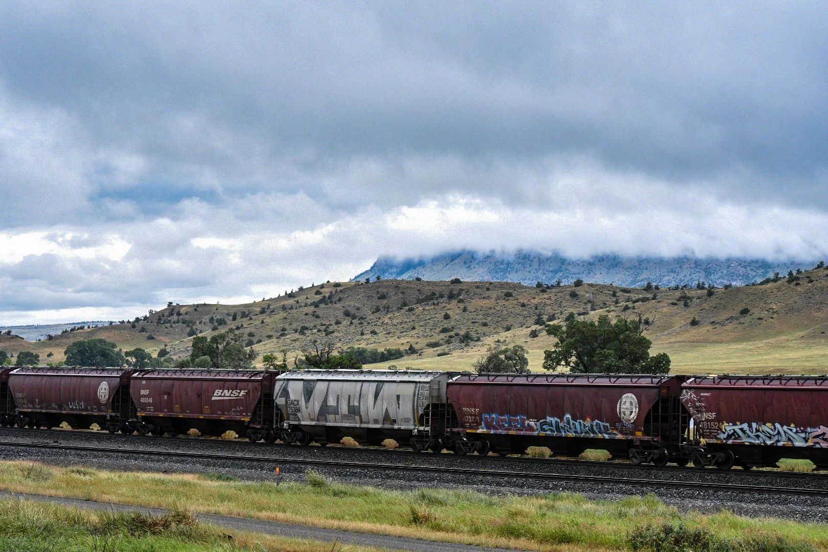
Sections of the Yellowstone along the frontage road (highway 10) that I was following had entire hillsides denuded of trees. Perhaps from wildfires, perhaps from something else… but to my eye these trees simply looked dead and picked over, not charred as I have seen elsewhere. They had the same character one might see after an artillery barrage — trees standing like armless sentinels in a wasteland.
The most likely culprit is the Bark Beetle. Unlike most of the sorts of species that cause havoc on ecosystems, the bark beetle is not invasive.

Dendroctonus ponderosae, the Mountain Bark Beetle as part of its life cycle will find and attack different species of indigenous pine, burrowing through the bark into the soft cambium, just beneath the bark, which carries the sugar rich sap. They don’t feed on the sap directly, rather their primary food source is the cambium layer itself. A large enough infestation works to gird the tree, cutting off the flow of sap and effectively starving it to death.
Why is bark beetle such a problem all of a sudden? It’s us. It’s always us. As the climate has warmed this prevents the natural die off of a significant portion of the dormant insects during the winter. Winters with temperatures colder than -30F for a few days were the primary way in which these pests were controlled in the past — those extreme cold temps are now more rare. In addition human activity in preventing wildfires counterintuitively is creating a more dense and fertile habitat for them to infest. These denser stands make each individual tree weaker overall while providing easy proximity between trees.
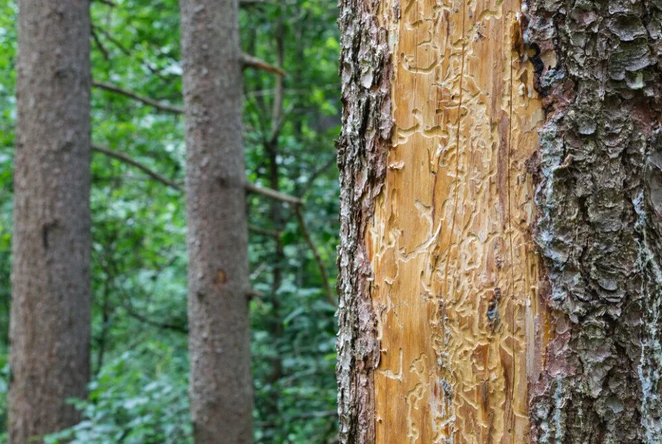
The effects of the Bark Beetle are exacerbated by the fact that they carry with them a symbiotic fungus which stains the tree a blue green and helps to digest the softer inner layers of the tree. In the picture above you can see the effects of that staining fungus in one such tree.
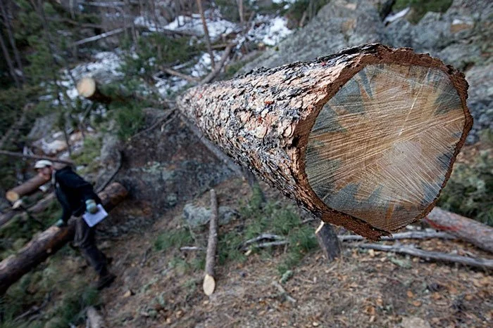
The way in which these infestations are controlled is by mass felling of infected stands of trees, often leaving behind dead snag wood of low value. While the stands we see in the picture likely haven’t been logged, they almost certainly are evidence of a mass bark beetle infestation in the region from 2007 to 2014.
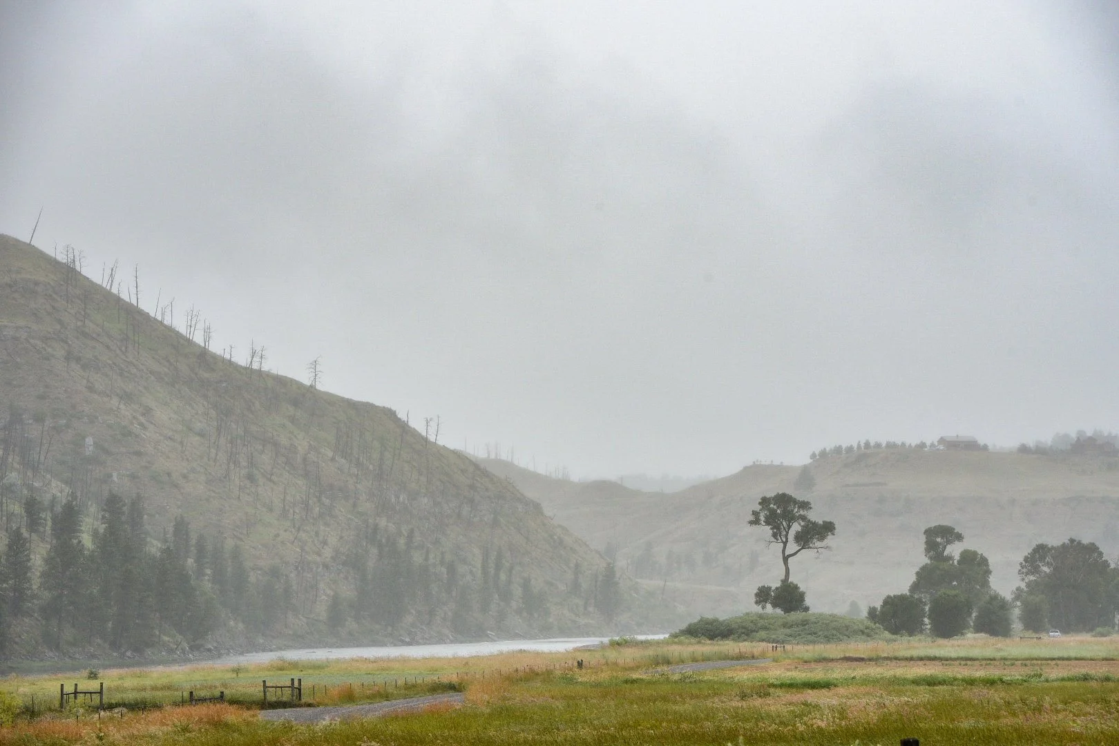

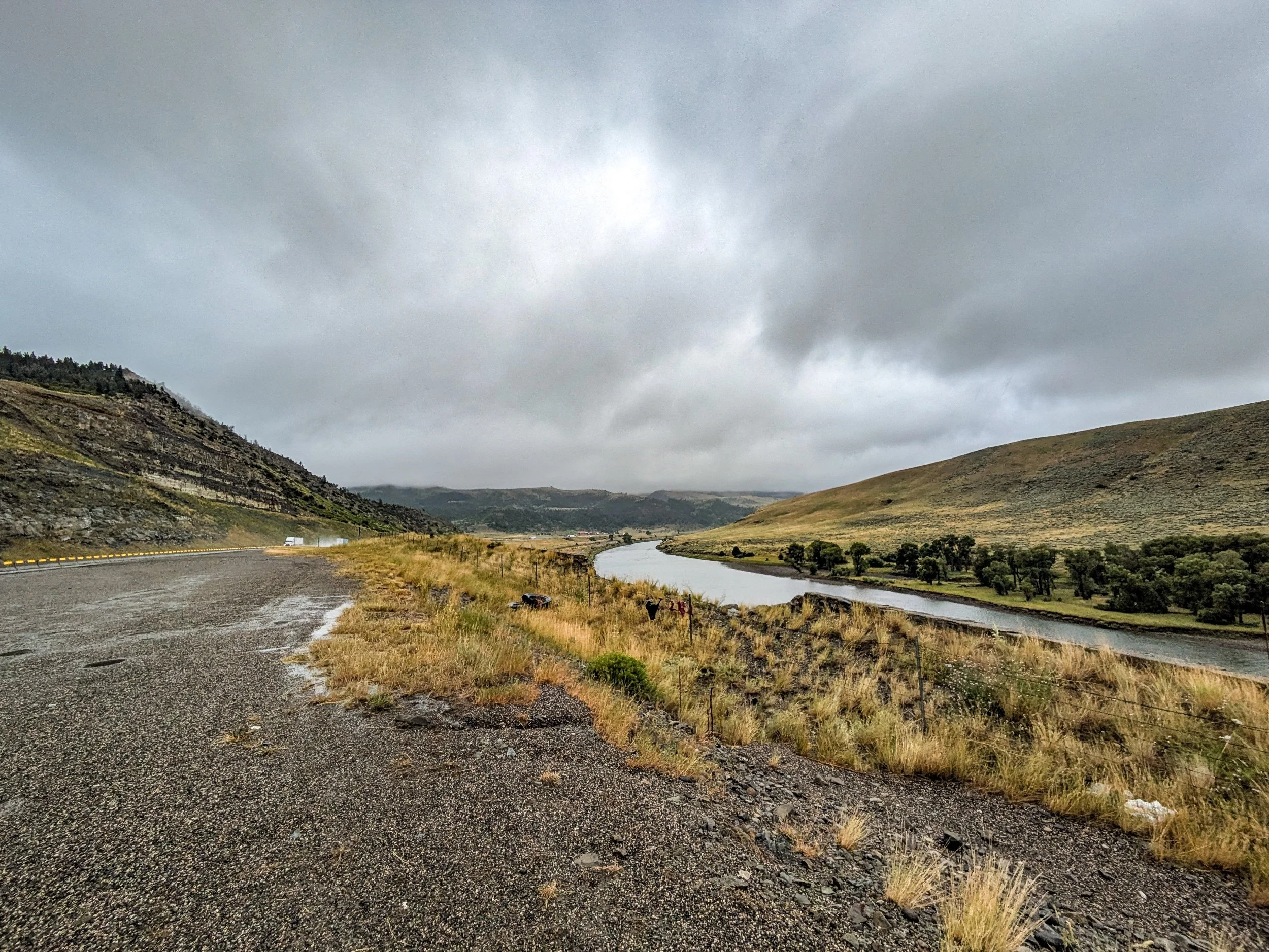
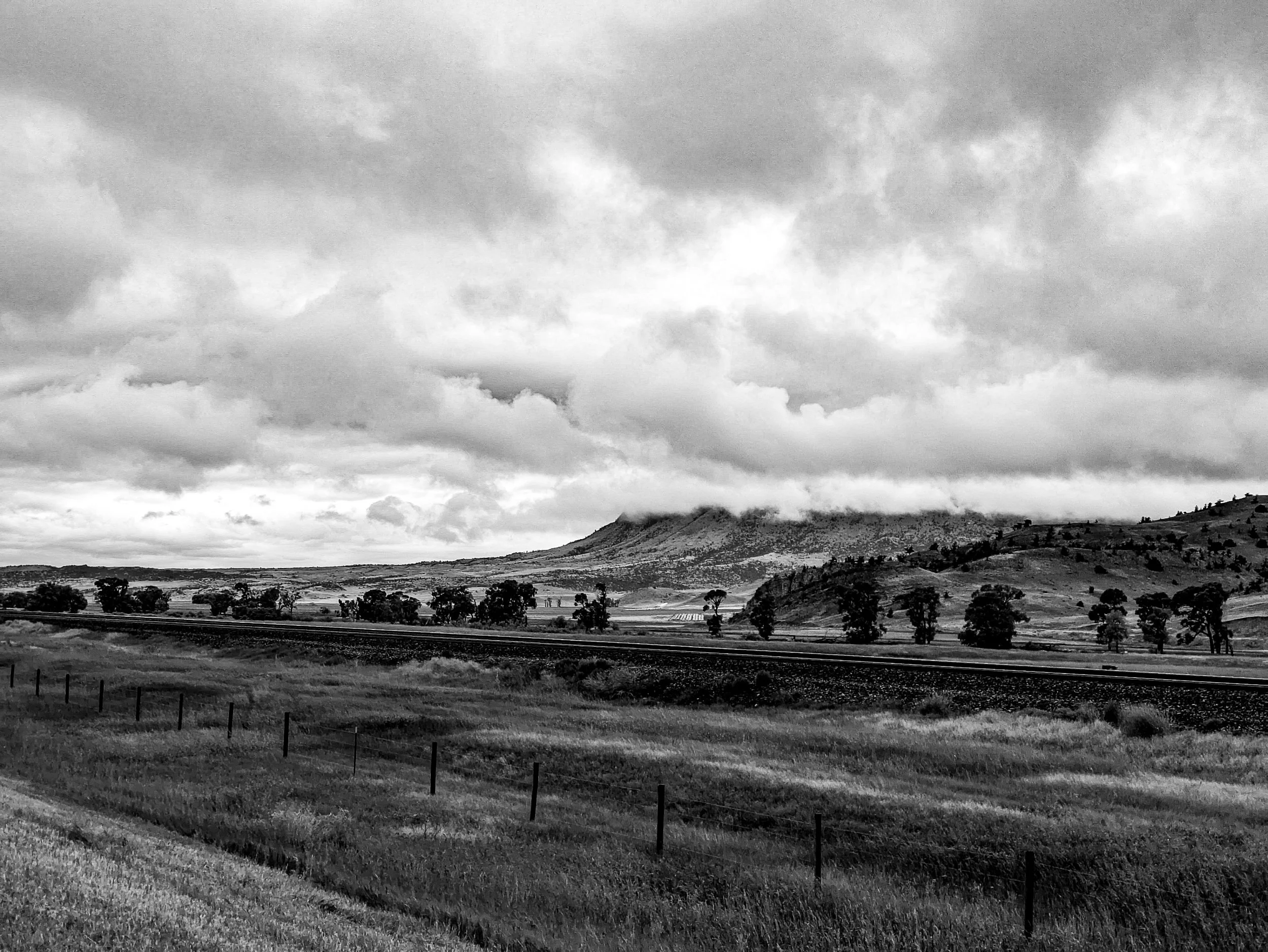
Throughout my journey a long the river I was greeted by low clouds, misty rain and rolling hills and buttes, but these becoming both denser and again changing in their character. Often times one side of the road would have an entirely different geologic character than the other.
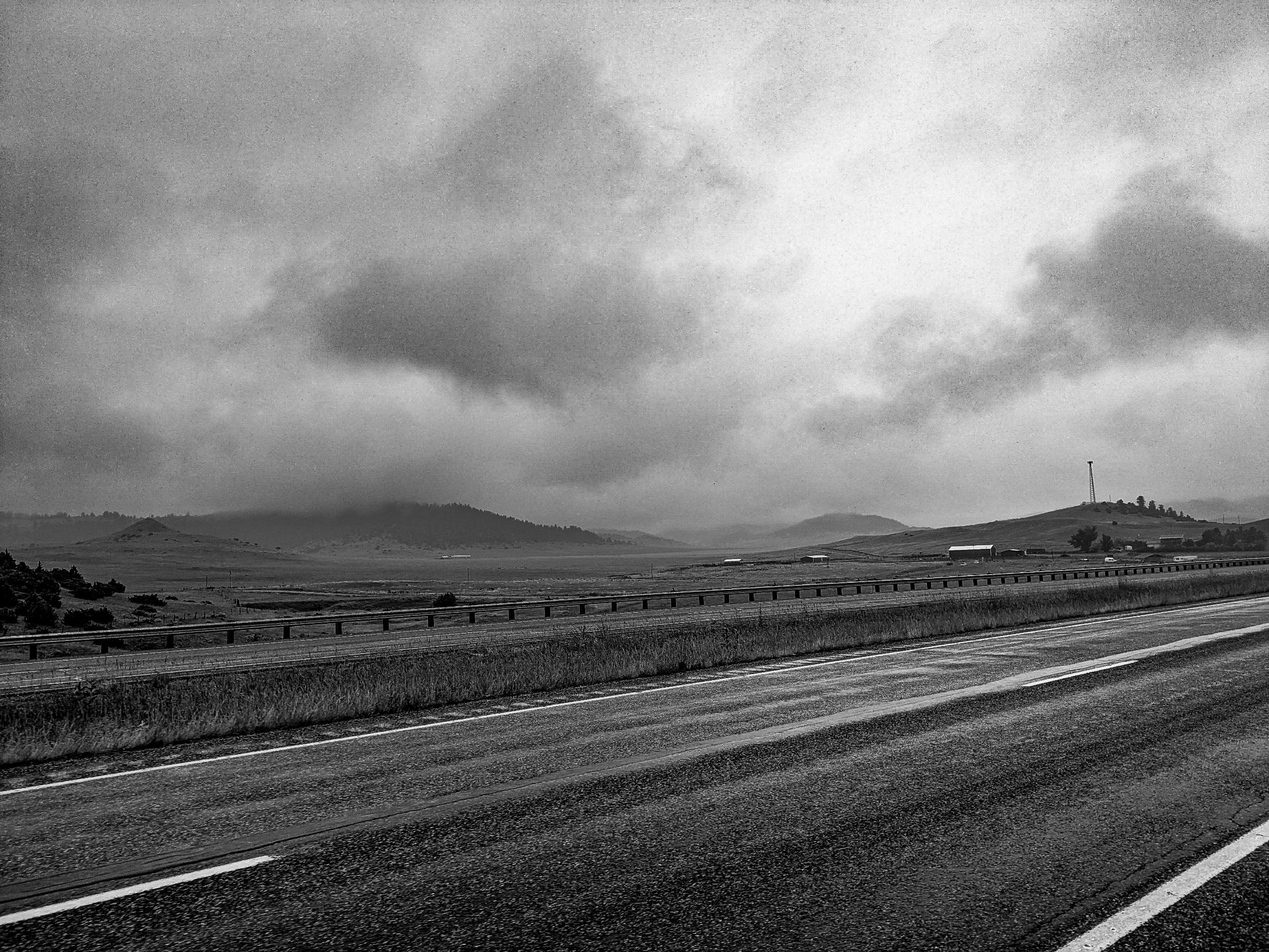


Most of the day was spent on the frontage road that was often directly next to the Interstate.
I stopped to eat some gummy worms in a tiny little town named Reed Point. It seemed to want to be a cowboy style tourist trap, but nothing at all was open. So I took on some battery charge while taking a short break. As I leaned against a post, idly eating fluorescent candy another cyclotourist passed by. I don’t know how he didn’t see my bike, but he just plain didn’t. I just laughed and went on eating.
About 15 minutes later I pulled out of the tiny town and continued down the road. About 10 miles later I started to feel like it had warmed up enough to take off my rain pants and so I pulled over and took them off. I looked back down the road and I see a cyclist coming up.
It was the same gentleman. A 63 year old man named Lars, who sold his home and has been cyclotouring for over a year in his retirement. He had stayed the night in the town I spotted him in, stealth camping behind some structure. He let me know he had started near DC and went south to Florida before deciding that the southern US wasn’t for him (I don’t blame him) and then restarted on the East coast — I think Maine and had done most of the Northern Tier, crossing a lot of the same land I had just cycled through. He may have even been the traveller a coffee shop had talked about around 500 miles back.
As I turned back to my bike I noticed a flat trailer tire. So while talking to him I pulled it off and started the repair process. As I was finishing up he was ready to make some more miles so he pulled off. I regret not getting a picture of Lars, but sometimes that’s just how it is.
About five minutes later I was back on the road. I’m not sure what route Lars must have taken towards Big Timber because I never spotted him again. Eventually after 41 cold miles I made it to Big Timber. The first thing I did was to get the largest, hottest coffee I could at a gas station. I stood outside sipping and planning what was next.
Earlier in the day my wife had let me know that there was a UMC pastor in Livingston, another 34 miles down the road who was willing to put me up. So I called Mari, the pastor and let her know my situation. I told her that after about a 3hr charge I would be headed that way. So I found a place to eat and charge and just blogged.


Before packing up and leaving Big Timber I addressed some loose bolts, and a rubbing rear brake and did some minor maintenance on the bike. At 4:50 I pulled out of town and started down the road.
Thankfully the weather, while still cold and soggy, was in my favor: I had a stiff tailwind pushing me towards Livingston. As a result I was making 20-24mph along the route. Even with stops my average speed over the miles to Livingston was 17mph.


As I moved closer and closer to Livingston, the buttes and hills to either side grew and changed, some nearly becoming mountains in their own right.
The temperature was dropping in the late afternoon and so I put on my last line of defense — a merino wool underlayer. From that point forwards I had no fear of hypothermia. My legs and hands were cold, but my core was quite warm.


The miles scrolled by at what felt like light speed as gusts of wind occasionally pushed me up to 28mph, and that is even while climbing slowly up a 0.5% grade overall.
As I reached the outskirts of Livingston I texted Mari and let her know I was close. From within Livingston I spotted giants in the mist. I would later learn this was the pass to the Paradise valley, and not on my route, but quite beautiful.
Livingston is the end of my course along the Yellowstone river. From here it bends south towards its headwaters in the National park. Tomorrow meant surmounting the Bozeman pass, a 1300ft incline with grades up to 8%. I wasn’t sure how difficult this would be and so my plan was to stop after a 25 mile trek over the mountain in Bozeman proper.

Getting to Mari’s parsonage was easier said than done. There was one last tough hill to climb up to their house, but I made it. She met me outside and ushered me into the garage where I parked and started charging my bike. I left my soggy rain gear in the garage and just took my primary bag and camera in.
She introduced me to her husband Walt, a retired furniture maker. He was cooking dinner. So I grabbed a shower to return some aspect of my humanity before joining them. We sat and enjoyed a conversation over dinner. Mari made me some hot tea to help get my temperature back up. Initially I was so tired I couldn’t even muster the energy to begin eating. I had accomplished 75, cold, wet miles.
As with every pastor and lay couple I’ve met through the UMC connections I’ve made along the way, both Mari and Walt immediately put me at ease. Our conversation ranged to topics within the church, to politics and family. Eventually I retired to the bedroom and called my wife and then fell asleep with the light on, I was so tired and their bed so comfortable.
The next morning was another cold and wet morning — colder in fact. The temperature didn't eek above 50 degrees until 10am. I was packed and ready to go by 10:15 and so I asked them both to pose for a picture. You can see the Paradise valley gap behind them.

We wished eachother goodbye and I set out.
I’m writing this from Bozeman, MT, only 25 miles away. But I had to cross a mountain to get here. That’s a story for tomorrow though.