Day 29 - no sir, your Butte does not appeal to me.

Two days later is on time, right?
I’m writing this from memory from two days past. The reason for that is just a collision with the number of miles, hours required to ride them, and the hours required to edit, write, and post.
That’s alright, I’m sitting in a coffee shop enjoying a piece of Strawberry Rhubarb pie and setting things to rights.
Thirty Three miles and a mountain—The road to Butte:
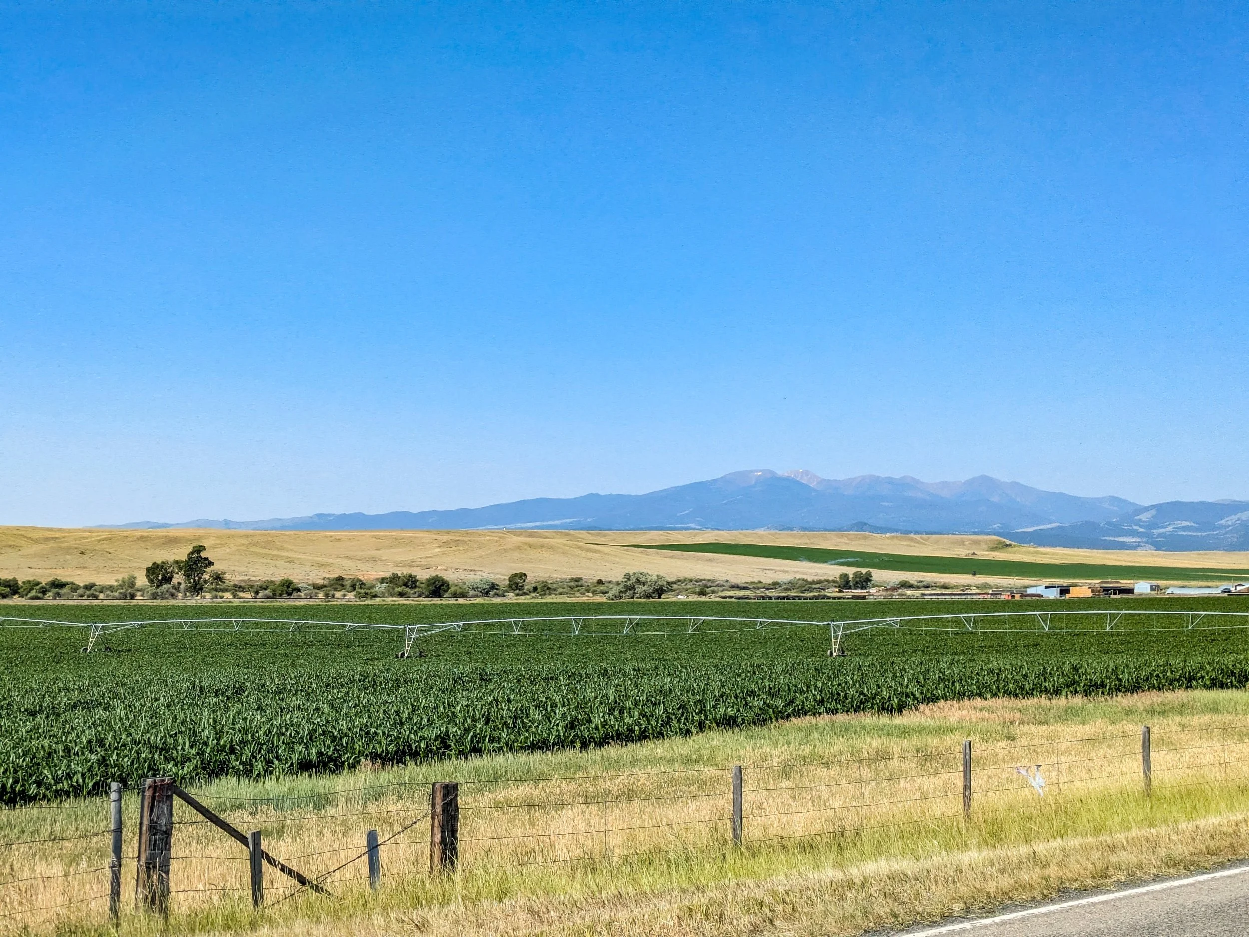
I’ll spare you the prosaic approach here. I had planned my stop in Whitehall so that I would summit the Butte pass the next day. However I would not be taking the direct path via I-90. Firstly when considering the elevation, it was clear that there were considerably more up and down jogs in the profile, meaning there would be a greater total elevation to overcome. The other option took me somewhat out of the way, adding 7 miles onto the journey, but greatly reducing the elevation. Given that it was only 33 miles, I reasoned that a full battery charge would get me there.
So I got on Montana highway 2 and headed to the Pipestone pass…
It was a cloudless day and a reasonable temperature. Even so the Sun was blazingly hot.
After turning onto MT-2 it wasnt long before I was stopped by construction. An agricultural pump had eroded the road up ahead and they were fixing it. This meant stopping at the flagger and waiting for the pace truck. I exchanged pleasantries with the girl holding the sign, and she radioed ahead about a cyclist. The pace driver wanted me to go out first ahead of him. So when it was time I put the bike in the highest assist and tore ass down the road in front of him.


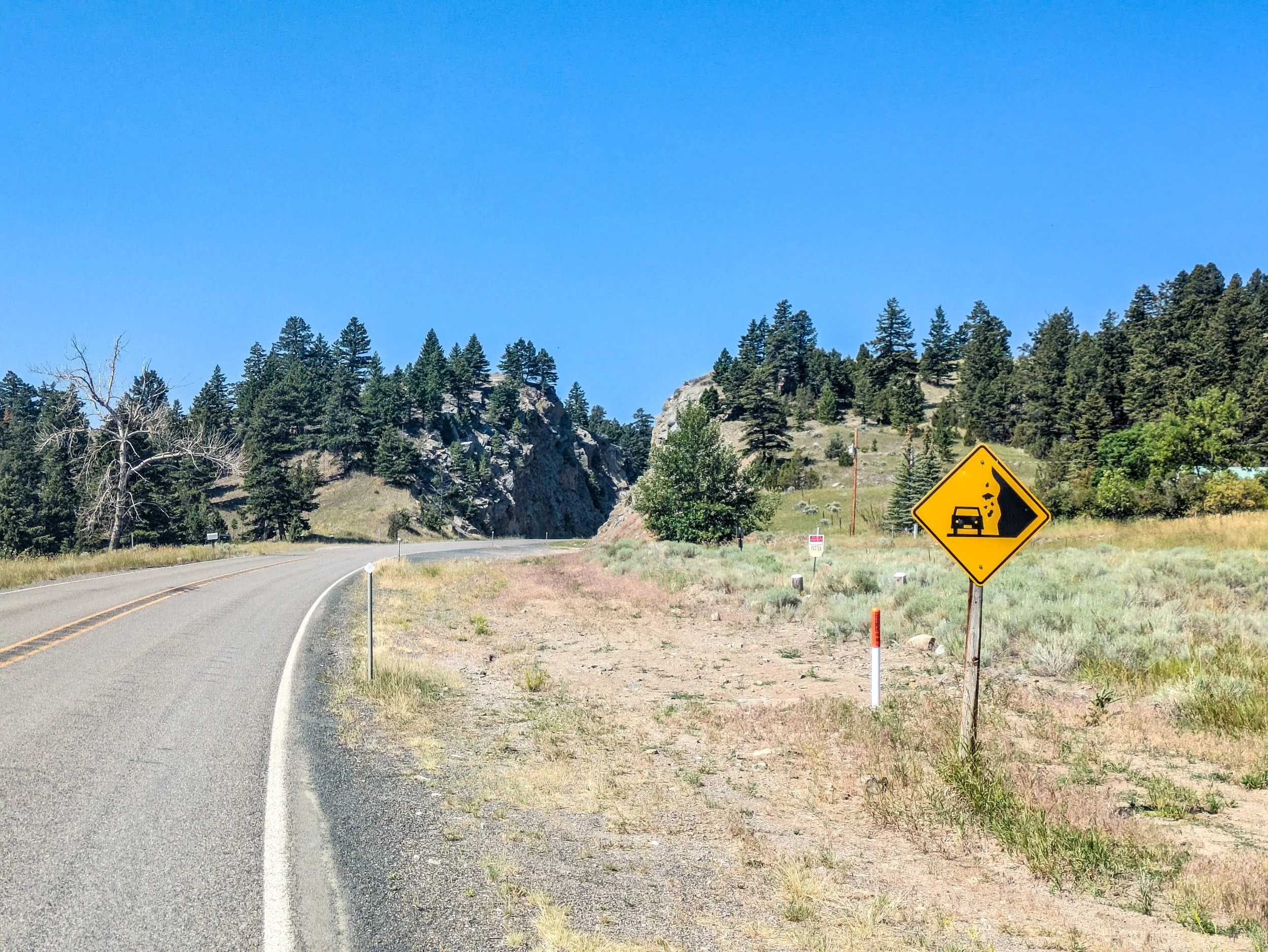
The lead up to the gradual incline into the pass was a 10 mile stretch of lonely rural highway. After the flagger I probably only saw about five total vehicles. There were a lot of dilapidated trailers, farm outbuildings, and other genral human detritus though… so there’s that!


Eventually I started the slow, 10 mile climb up the pass. Nearly the moment I left the bottomland there started to be newer homes tucked away in hollers to the right and left, and evidence of many more unseen — such as large multi-residence postal boxes at the ends of dirt roads.
I thought back to a conversation with Fred, that a large volume of the housing in this region is simply empty most of the year. These are likely second or even third homes. And it’s clear there is a market because there were constant signs for realtors, builders, etc along the way up. And at a glance you could tell this was the play place of the monied. No defunct trailers. No abandoned backhoes. No rotting horse sheds. Rather the hollers were rife with modernly appointed homes with many windows and shockingly green lawns contrasting to the arid scrubby pineland around them.
I begrudge them less for the fact that these are second or third homes, than the fact that they built here because they were taken by the natural beauty of the place only to come and impose upon it some absurd affront to that very natural beauty.
Fescue grass has no place in the rolling scrub of these mountains, and the resources needed to keep it that green make me see red, given what it must do to the local water table.
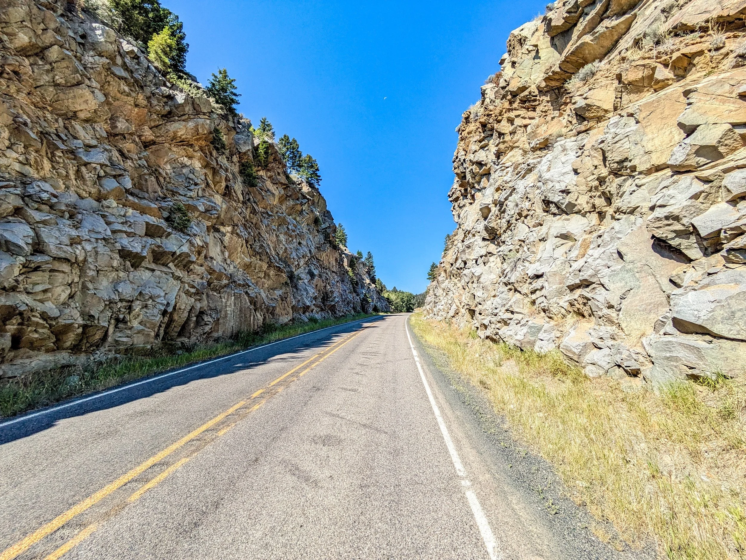
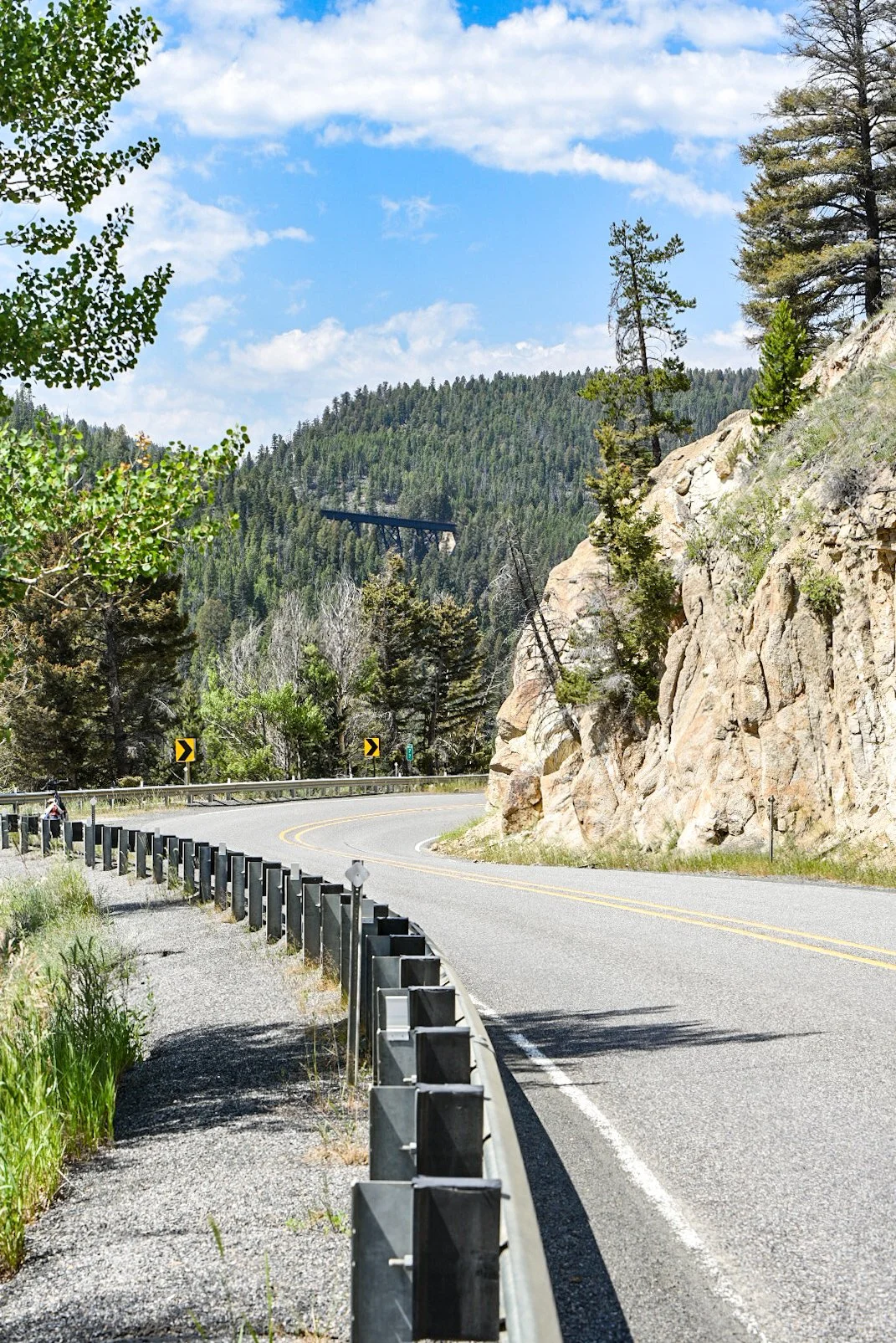
As with most passes the track up generally follows the cut of some watershed up the slope. This was no different. But the topography in places was simply not suitable to throw a road across, and there were occasional cuts through the land to make the road follow a more reasonable path up.
This was the steepest part and I watched as my battery was quickly depleting. I felt the same in my own muscles. The slope at this point was around 10% grade, the worst I had experienced yet, and it was taking every bit of my and the bike’s energy to crawl up.
About half way up I pulled off to cool down, catch my breath, and eat something.

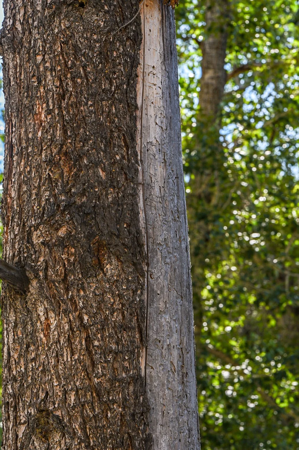
There was evidence of bark beetle everywhere. Individual trees dead or dying from their actions. I stopped and took a few pictures of the damage they do to trees, and you can see the channels they create through the cambium layers, and how that results in a die-off of the surrounding area. Eventually it’s enough to starve the tree completely.


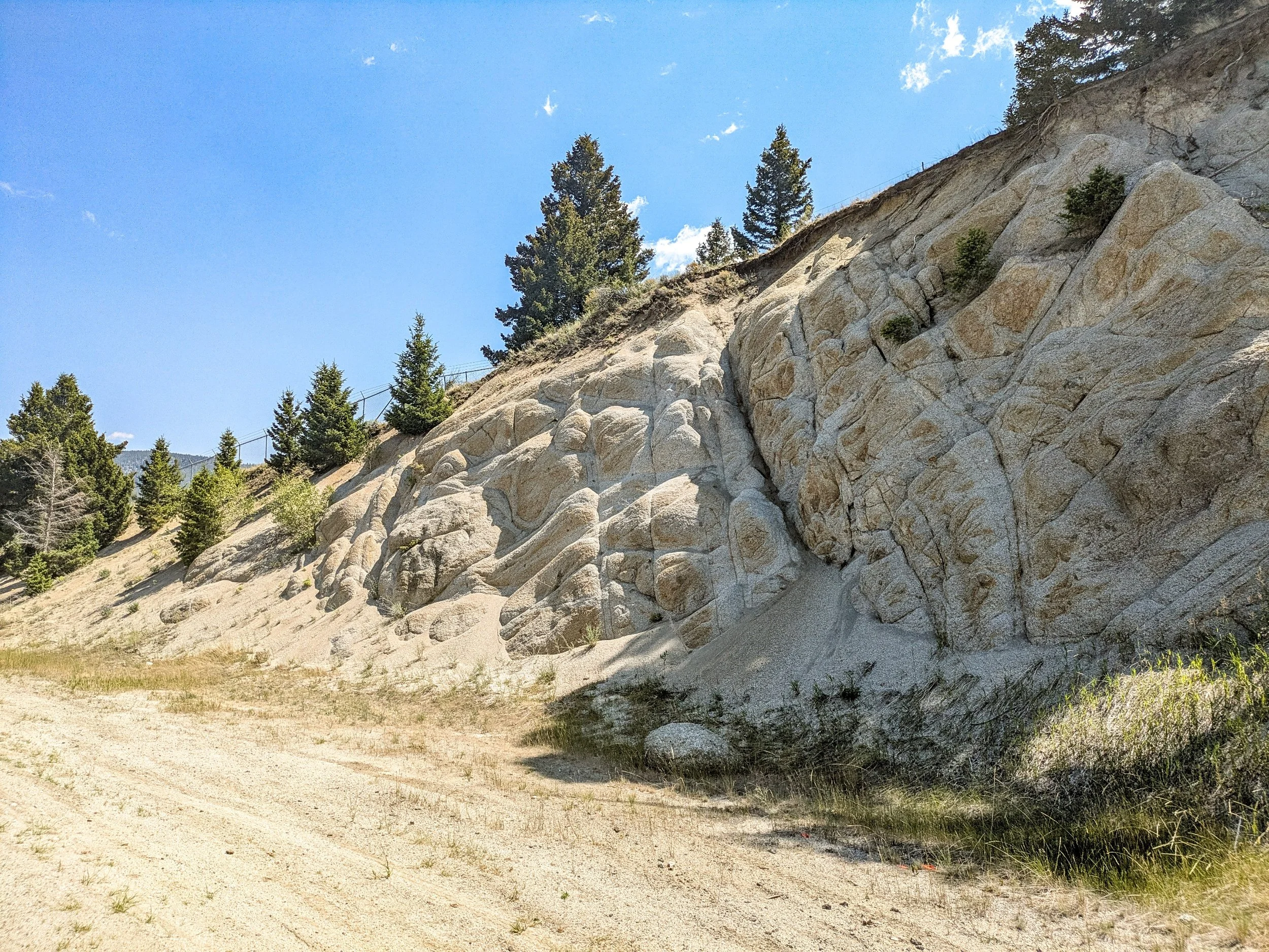
Therocks of the mountain had taken on a somewhat craggy, but rounded character. Weathered down by millenia of rain and wind but evidence still of the great forces that caused them to be lifted high. These are not the sandstones and shales of the buttes, they are magma that cooled beneath the earth and that were later thrust upwards.


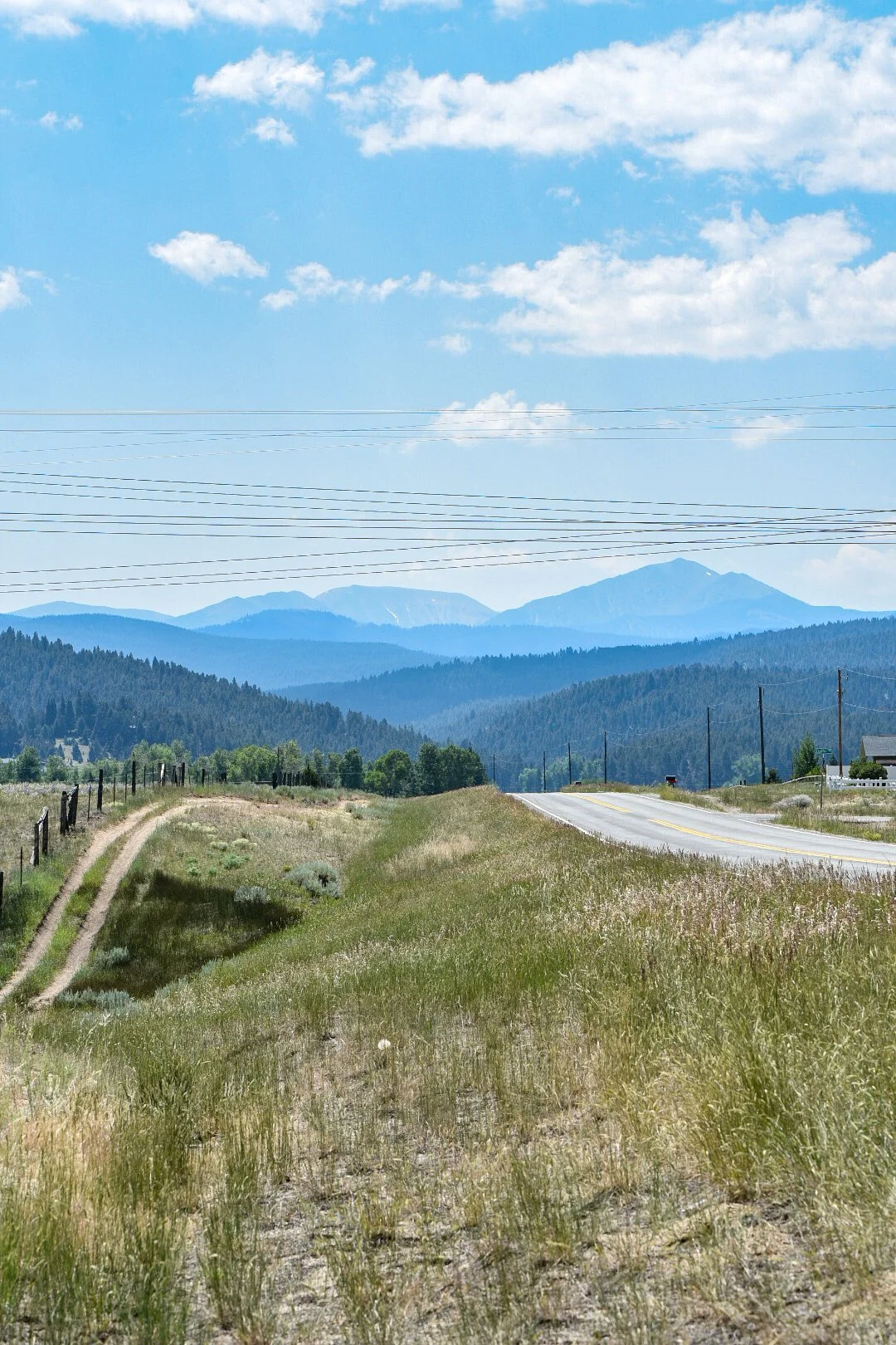
After more than an hour of toil I made it to the pass proper. At 6450ft it was the highest I have been on this journey, but half of that of the journey I took in 2011.
The road down the pass was far more winding, indicating the difficulty of the terrain and the steeper faces on this side.

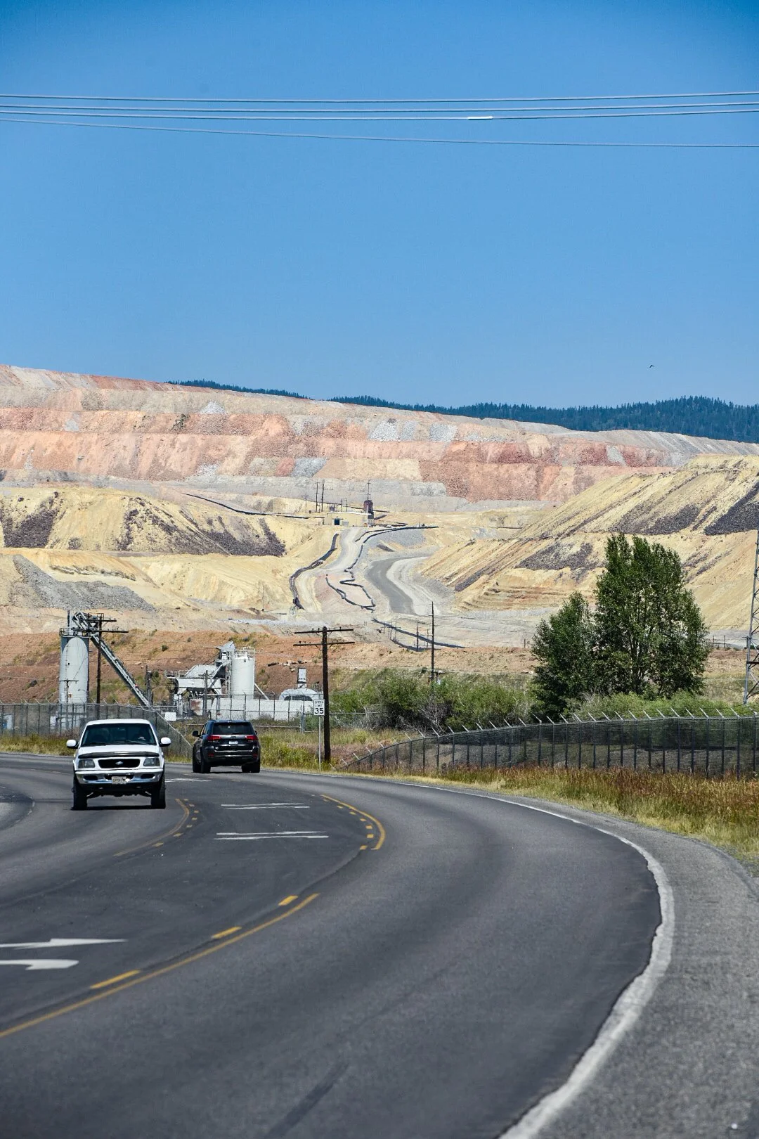
As I descended I got my first view of Butte. The large orange blotch Is a huge open pit mine.
At the mouth of the valley the rocks again changed. This time what looked like limestone deposits, due to their bulbous chemically weathered look.
Indeed it is limestone. This region having some of the most complex geology in the world. It is a mixture of faulted earth, magma intrusion, vulcanism, hydrothermal processes, and plutons. It’s for this reason that they great orange patch you saw before exists. Berkley Pit.
Butte is enormously rich in Copper, Silver, Gold, Lead and Molybdenum and the Berkley pit is the source of much of the extraction that occurs here.
More on that later. For now as I entered the valley I took a look back at the Pipestone pass.
And then a look forward towards the route that most take along interstate 90


From a distance the city appears to be centered on two hills, one the Berkley Pit (to the east) and the other the old city.
My path north took me along continental blvd, and thinking I was on the main drag I was looking for food, but not a single restaurant materialized. Until I saw a lonely coffee shop directly next to the edge of the pit itself. This is where I stopped, with a battery at near critical levels, and in desperate need of calories.
From here I spent the time editing pictures and working on the prior day’s blog after eating a cheese danish and some coffee. Eventually after letting the bike charge a bit I left out to find some real food. I saw a Chinese restaurant on the map and followed Google's directions to where it should be. I could only find a dive bar there, and I was informed by the denizens that it was uptown.
So far my ride down continental blvd towards the pit had left a sour taste in my mouth for Butte, this insult was simply adding to the injured image. Surely this was exacerbated by me noting a flat on the trailer as soon as I left the dive bar. That was sorted in short order and I went to the location the gentlemen had described. There were signs leading me through what absolutely looked like an abandoned bar to a reasonably well appointed restaurant. The staff was having family dinner in the calm before the storm — it was 3:00pm. I told the gentleman that served me that I was in no rush, but my food came out quickly and was good.

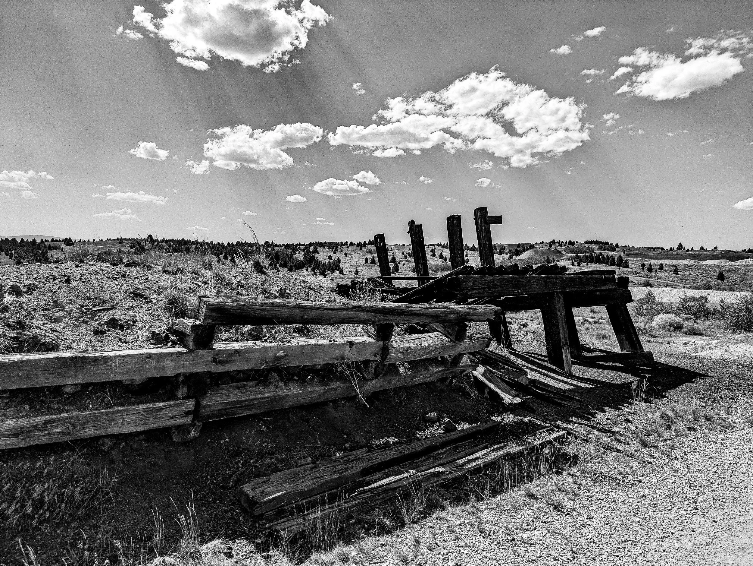
After eating I took some quick photos of some of the historic downtown. Many storefronts are dilapidated or boarded up. There are multiple reasons for this urban blight, and the general feel in Butte that it is a city deep in decline.
Firstly, the Berkley Pit itself is a Superfund site. It has caused mass contamination of ground water in the region with heavy metals such as lead, cadmium and arsenic. Though cleanup is ongoing, the active mining is still a source of contaminated dust and the water at the bottom of the pit is considered highly caustic. Fred from Bozeman told me a story about a group of water testers who went out into the water using an aluminum boat. They were advised to spend no more than 30 minutes on the pool. They spent less than five out of fear.
Secondly, the downturn of the US mining industry in the 1980s and into the current era, which lead to overall depressed wages in the region and a huge increase in poverty. Fully 20% of Butte’s population is below the poverty line. This had a cascade effect throughout Butte itself, leading to closed business and a general urban blight.
Genuinely it’s a real shame, because the architecture throughout the city is stunning.


The city itself is chock full of homes from the post civil war era and into the 1920s with their ornate styling. Some are well kept, others are not. I fear until Butte can figure out how to economically pivot, and rejuvenate the environment while preventing future environmental damage, it may forever languish in this state of disrepair until all its old character has decayed permanently.
Butte was not my ending destination however, I had dithered about the idea of pressing on further and I settled on making it to a small community on the exurban edge of Butte called Rocker. Given the stresses of the last few days, and no available hosts I opted to stay in the Rocker Inn. Getting there meant taking a cycling path from the University on the hill down to the lowlands.
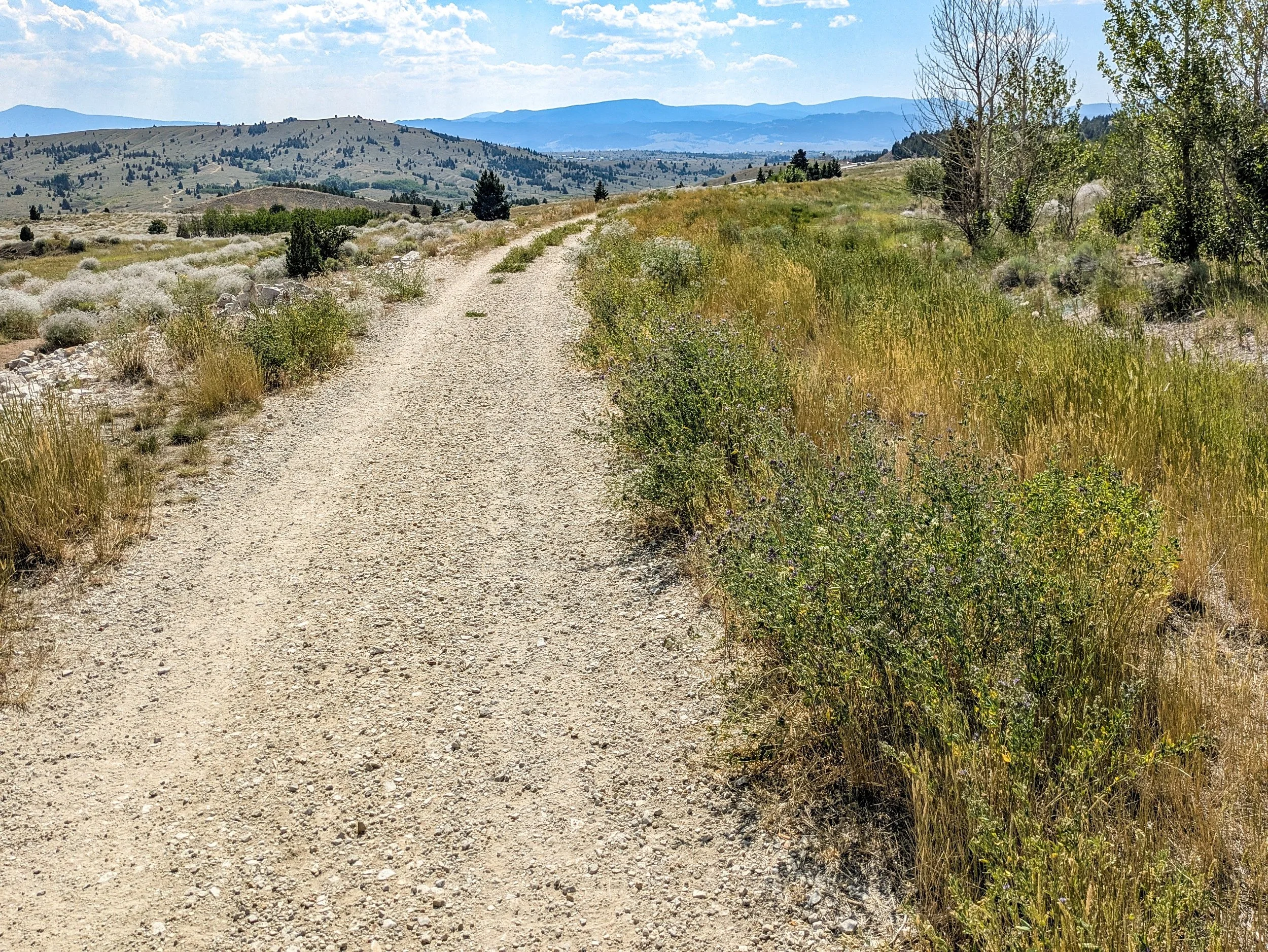

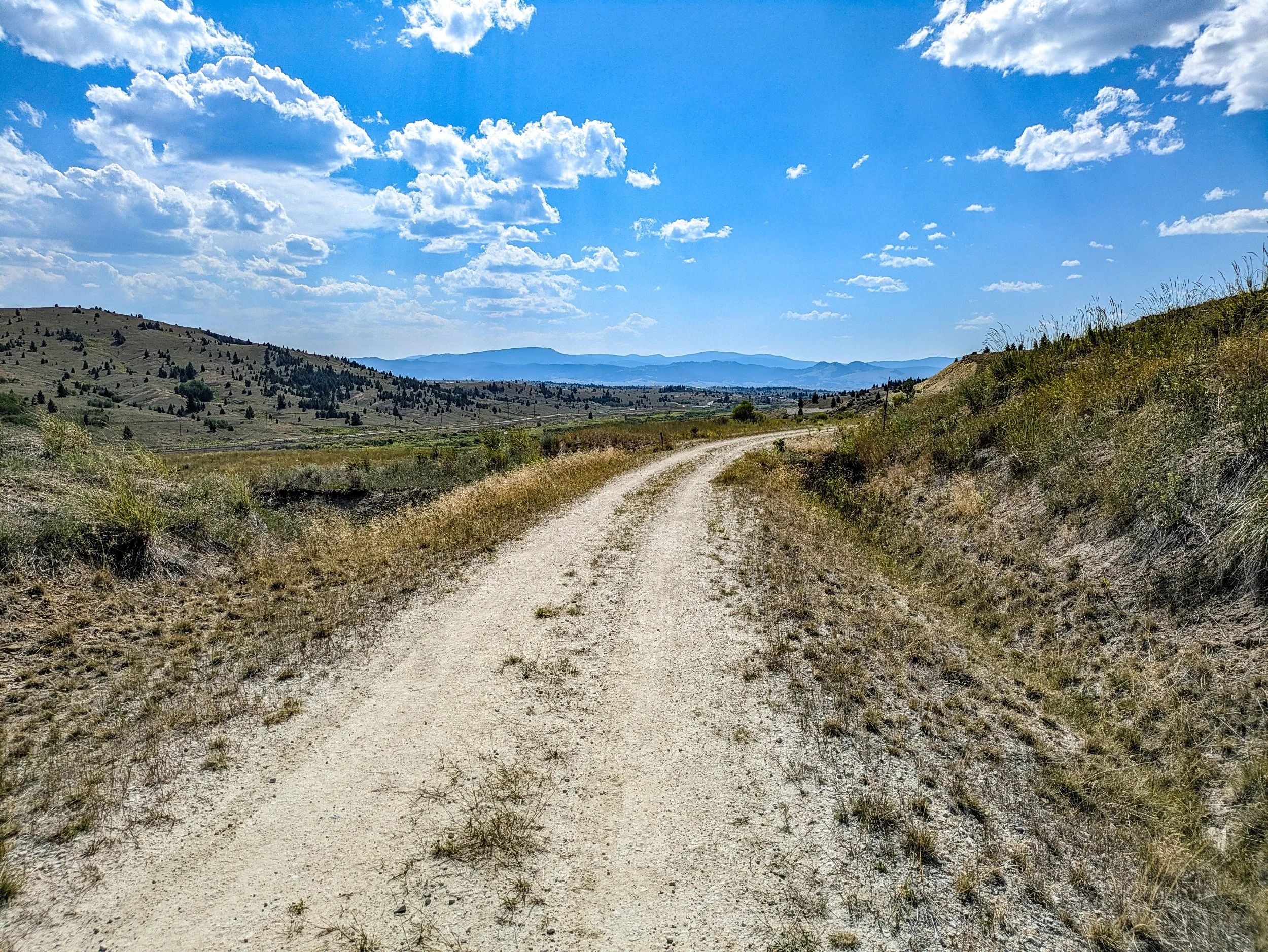
The path was perhaps 3 miles, but it was three miles of very little pedalling due to the grade. It gave me an opportunity for a relaxing and beautiful ride out of Butte.

I spotted different plants I had not yet seen. The first of which I thought looked very similar to baby’s breath.
In fact it is Gysophilia paniculata… or commonly known as Baby’s breath. However it’s not a native species. Rather it was likely brought to the Butte area as an ornamental plant from the Austria region, resulting in invasive spreading into the hills and prairies.
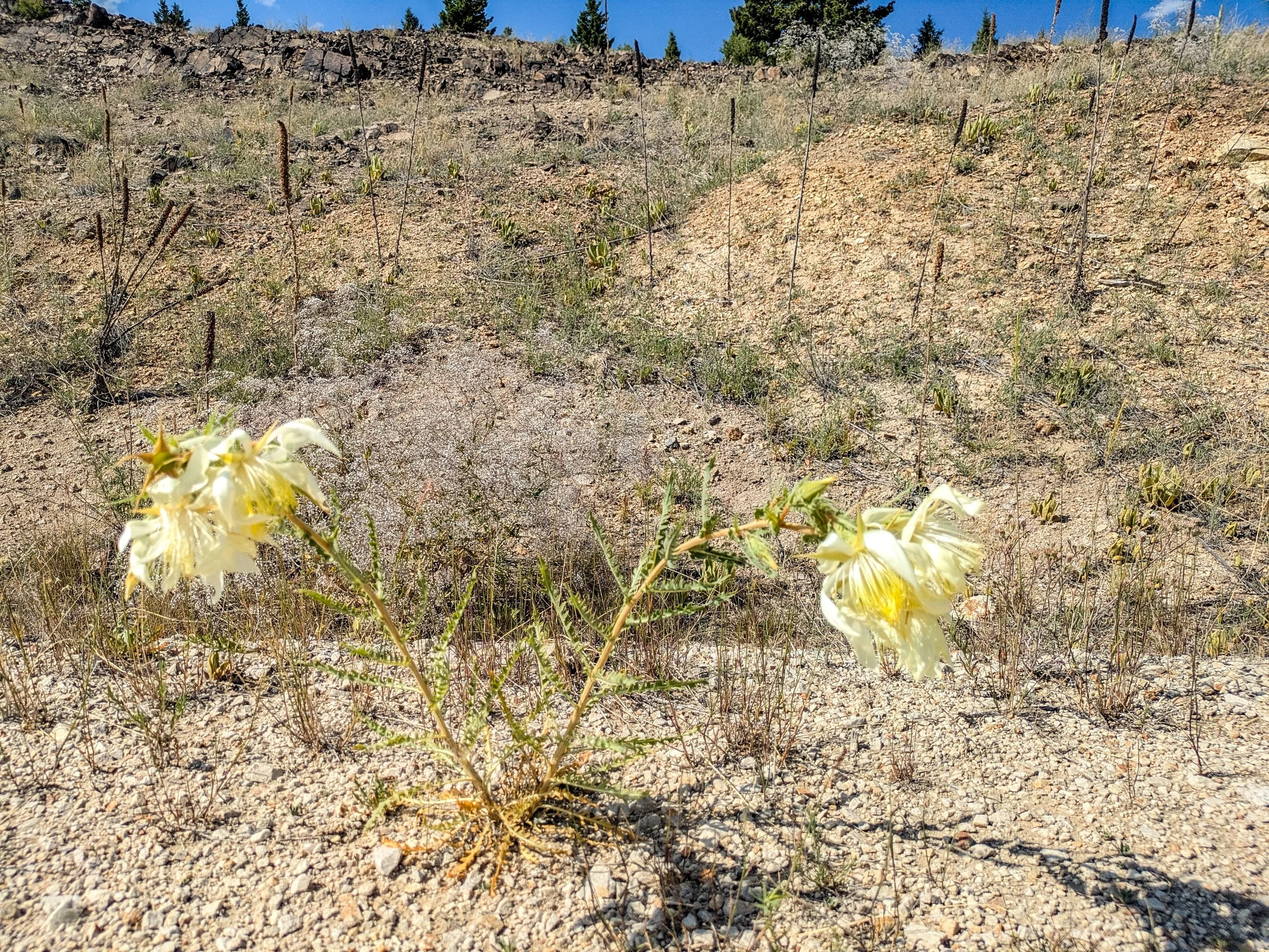
The second flower I had not yet seen was Mentzelia decapetala, or the tenpetal blazing star. While not a true carnivorous plant, it will passively trap small flies which then die in its sticky bloom.
Not long after passing off the trail I was in Rocker itself. There was genuinely nothing to it, not even a stop light, just a built up travel stop for fuel, food and hotels. Mine was the Rocker Inn.
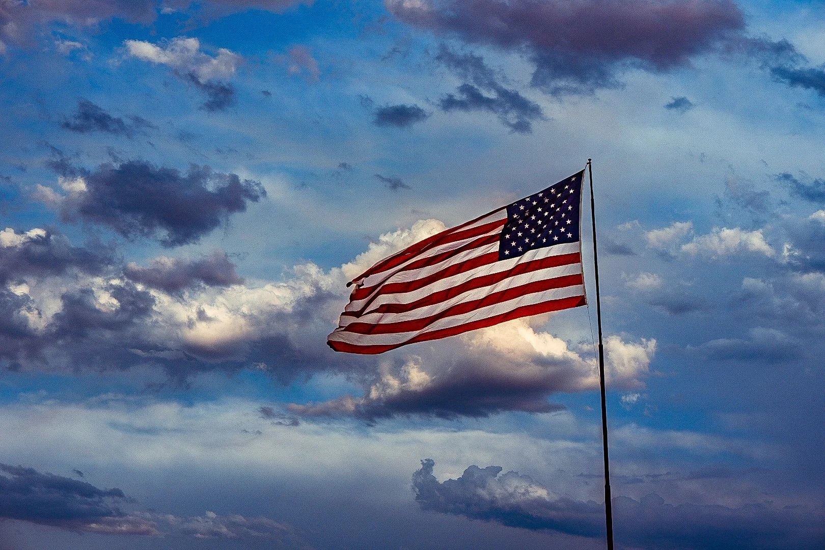
After getting settled I walked over to the McDonalds in the Travel center and ate and finished my blog. Upon leaving I was greeted with a stunning atmospheric display:
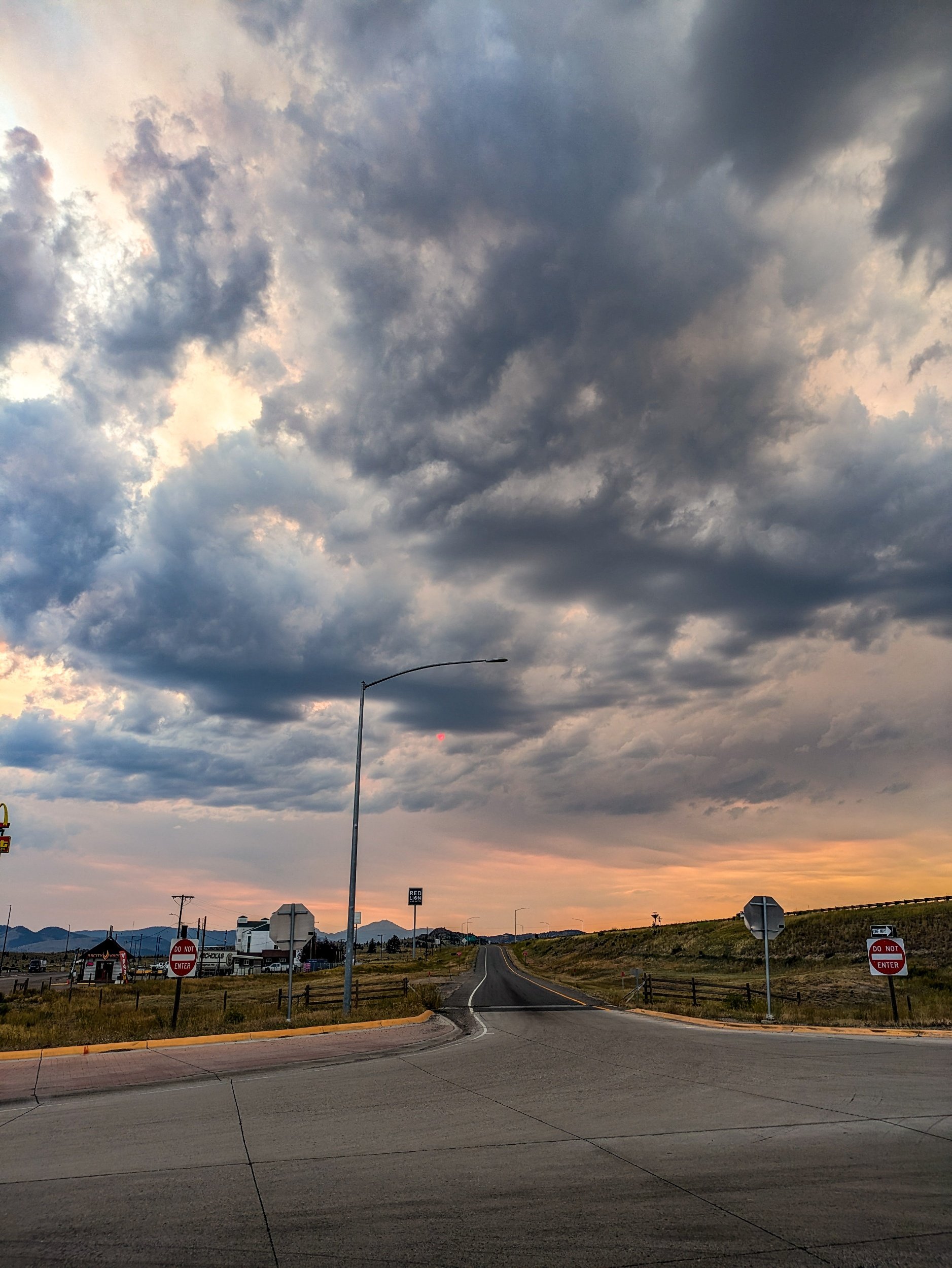
I knew this was a special moment, and so I rushed over to the hotel to get my professional camera and then quickly walked out to an area away from structures and waited patiently for the shot.
While waiting, my wife called and we spoke for around thirty minutes. Still I waited. I sat there for perhaps an hour on the warm sand, watching the distant mountains and the sky. Occasionally a red sun would peep out from behind a cloud. Finally, the sun blazed through lighting up the dramatic sky:

Shortly after the dramatic lighting changed to the civil twilight, and so I moved off, snapping a picture of the hotel’s American flag as I passed by to my room. And that was the end of my 37 mile day through the mountains and Butte.